
Tropical Storm Urduja maintains strength, ‘almost stationary’ off Eastern Samar
At the rate it is approaching land, Tropical Storm Urduja “remains almost stationary” off the coast of Eastern Samar, the state weather bureau said Friday morning.
The weather disturbance is moving northwest at five kilometers per hour and packs maximum sustained winds of 75 kph near the center and gustiness of up to 90 kph, according to PAGASA in its 8 a.m. severe weather bulletin.
As of 7 a.m., Tropical Storm Urduja was estimated to be located 205 km east of Borongan City, Eastern Samar, the same approximate position it was in at 4 a.m.
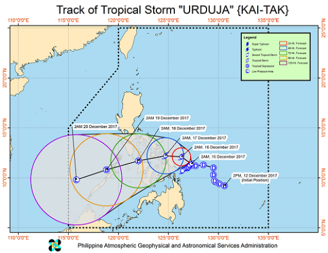
Contrary to earlier projections, the tropical storm is now expected to make landfall over the Northern Samar - Eastern Samar area between Saturday morning and afternoon.
Those within the 500-km diameter of Urduja can expect moderate to heavy rainfall, while those in Eastern Visayas, Caraga, Bicol, and the rest of Visayas can anticipate scattered to widespread rains within 24 hours.
Residents in these areas are advised to "undertake appropriate measures" against flooding and landslides.
Sea travel is still risky over the eastern seaboards of the Bicol region and Visayas.
Storm signals
Tropical Cyclone Warning Signal (TCWS) No. 2 is still hoisted over Northern Samar, Eastern Samar, Samar and Biliran.
PAGASA said a storm surge is possible at coastal areas of places under TCWS No. 2, as waves could be as high as 4.1 to 14 meters.
TCWS No. 1, meanwhile, is up over Catanduanes, Camarines Sur, Albay, Sorsogon, Romblon, and Masbate including Burias and Ticao Islands, Leyte, Southern Leyte, Northern Cebu, Capiz, Aklan, and Northern Iloilo and Dinagat Islands.
“The public and the disaster risk reduction and management council concerned are advised to take appropriate actions,” said the weather bureau.
The next severe weather bulletin will be issued at 11 a.m. —Nicole-Anne C. Lagrimas/KG, GMA News
