

LPA east of Philippines seen to enter PAR next week
A low pressure-area spotted east of the country might enter the Philippine Area of Responsibility (PAR) next week.
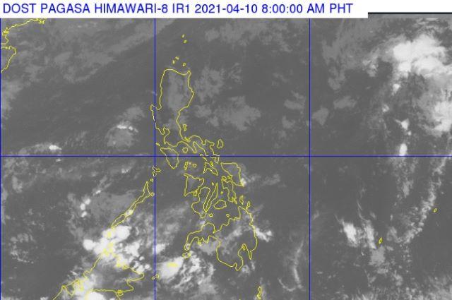
In a report on "Dobol B TV," GMA's resident meteorologist Nathaniel "Mang Tani" Cruz said the LPA may eventually become a cyclone on Monday or Tuesday.
“Mayroon isang namumuo (na bagyo) dito sa Pacific Ocean sa labas ng PAR, baka sa Lunes o Martes maging ganap na itong sama ng panahon at unti-unti po ay papasok yan ng [PAR] at baka ito na ang pangalawang bagyo sa taong ito,” Cruz said.
Citing weather agencies' reports, Cruz said the LPA is forecast to make a landfall in the Visayas next weekend.
Likewise, the report said the coming weather disturbance is expected to affect the Eastern Visayas Region, Bohol, Cebu, Regions IV-A and IV-B.
Cruz also warned of thunderstorms in Mindanao. Heavy rains, strong winds, hailstorms, tornado, and thunderstorms will be experienced in affected areas.
In Luzon, only the provinces of Isabela, Aurora, Mindoro, and Palawan will experience slight rains. —Hana Bordey/LBG, GMA News
