
Signal No. 1 remains over Batanes as habagat brings monsoon rains over parts of Luzon
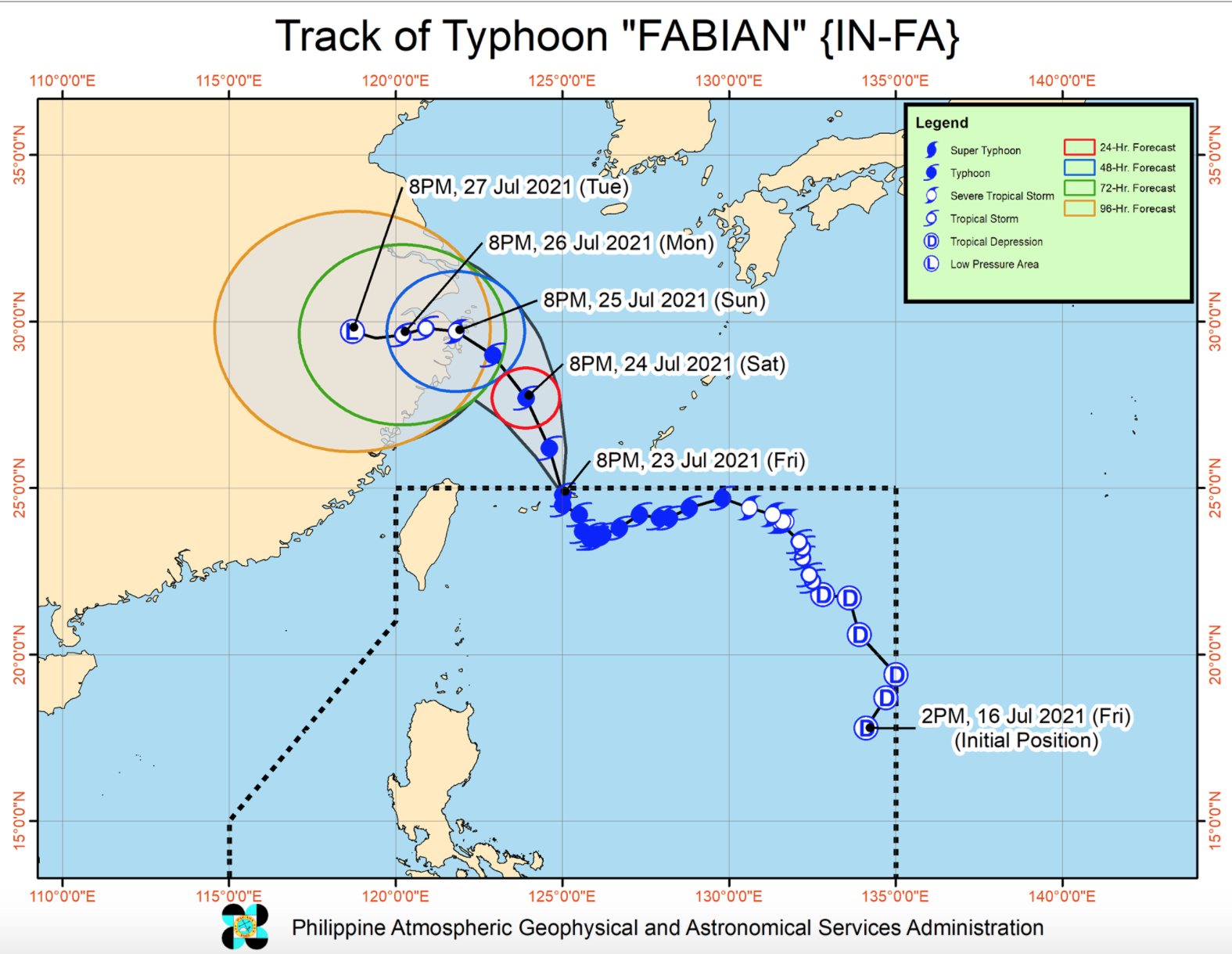
Tropical Cyclone Wind Signal No. 1 remains hoisted over Batanes even as Typhoon Fabian weakens and expected to exit the Philippine Area of Responsibility (PAR) on Saturday morning, PAGASA announced Friday evening.
Fabian is unlikely to directly bring heavy rainfall in the country as it enhances the the southwest monsoon bringing scattered to widespread monsoon rains over the Ilocos Region, Cordillera Administrative Region, Metro Manila, most of Central Luzon, CALABARZON, and MIMAROPA, and portions of Western Visayas in the next 24 hours.
Strong winds, strong breeze to near gale conditions, will be experienced over Batanes while occasionally gusty conditions associated with the enhanced Southwest Monsoon will be experienced over Visayas and the rest of Luzon, especially in the coastal and upland areas.
According to the 11 p.m. Severe Weather Bulletin, Fabian was estimated at 560 kilometers northeast of Itbayat, Batanes with maximum sustained winds of 140 kilometers per hour near the center and gustiness of up to 170 kph.
It is moving north-northwestward at 10 kph.
PAGASA said Fabian is expected to exit the PAR in the next three to six hours and is forecast to remain a typhoon until Sunday morning.
It is expected to be downgraded into a severe tropical storm as it makes landfall in the vicinity of eastern mainland China on Sunday afternoon or evening.
Meanwhile, rough to very rough seas may prevail over the seaboards of Luzon, Batanes, and the western and central seaboards of Visayas in the next 24 hours.
PAGASA warned that sea travel is risky for small seacrafts.
Moderate to rough seas will also prevail over the remaining seaboards of the country.
“Mariners of small seacrafts are advised to take precautionary measures when venturing out to sea. Inexperienced mariners should avoid navigating in these conditions,” PAGASA said. -- BAP, GMA News
