
Trough of LPA, amihan, localized thunderstorms to bring rain over various parts of Philippines
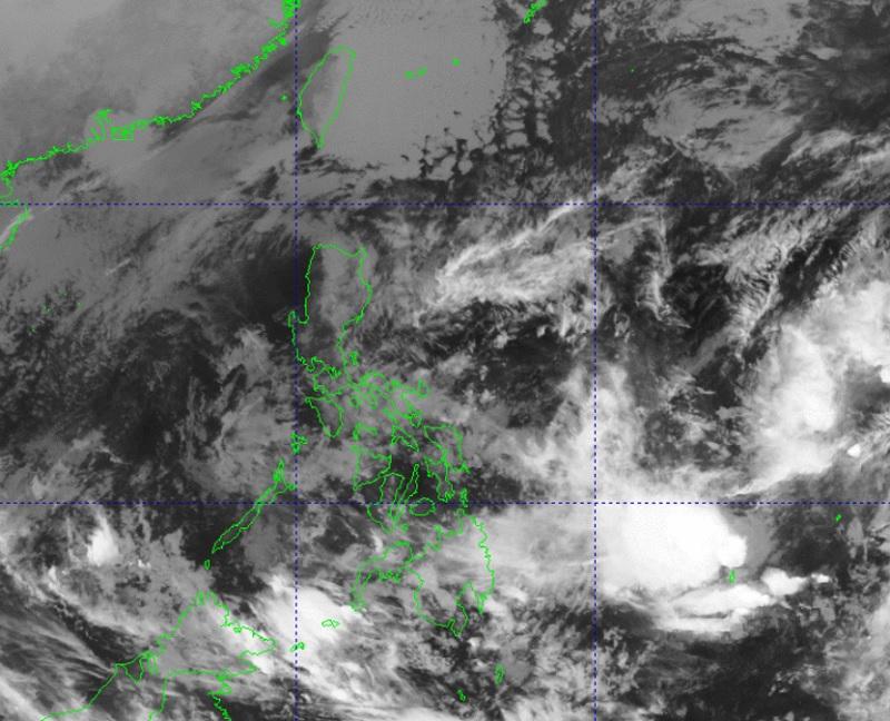
At 3 a.m. on Thursday, the Low Pressure Area (LPA) was estimated at 750 kilometers east of Hinatuan, Surigao del Sur as the northeast monsoon or amihan is expected to continue to affect Luzon and Visayas, PAGASA reported.
Caraga, Davao Region, Northern Mindanao, and Zamboanga Peninsula will have cloudy skies with scattered rain showers and thunderstorms brought about by the trough of the LPA with possible flash floods or landslides due to moderate to heavy rains.
The rest of Mindanao will have partly cloudy to cloudy skies with isolated rain showers or thunderstorms also due to the trough of LPA and localized thunderstorms with possible flash floods or landslides during severe thunderstorms.
Cagayan Valley, Cordillera Administrative Region, Aurora, Quezon, Oriental Mindoro, and Bicol Region will have cloudy skies with rains due to the northeast monsoon with possible flash floods or landslides due to moderate to heavy rains.
Metro Manila, the rest of Luzon, and Visayas will have partly cloudy to at times cloudy skies with light rains also due to the northeast monsoon but with no significant impact.
The wind speed forecast for Luzon and the eastern sections of Visayas and Mindanao is moderate to strong moving northeastward while coastal waters will be moderate to rough.
The rest of Visayas will experience moderate to strong wind speed moving northeastward with moderate to rough coastal waters.
The rest of Mindanao will experience light to moderate wind speed moving in the northeast to north direction while coastal waters will be slight to moderate.
Sunrise will be at 6:20 a.m., sunset at 6:01 p.m. -- BAP, GMA Integrated News
