
Southwesterly Windflow to bring scattered rain over Palawan
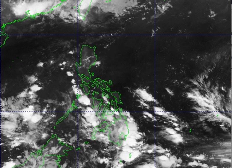
Southwesterly Windflow will be affecting the western sections of Southern Luzon, Visayas, and Mindanao, PAGASA reported.
The tropical cyclone Mawar was located outside the Philippine Area of Responsibility (PAR), as of 3 a.m., was 2,300 kilometers east of the Visayas with maximum sustained winds of 155 kilometers per hour near the center, gustiness of up to 180 kph and moving northward at a speed of 10 kph.
The tropical cyclone is expected to enter PAR by Friday or Saturday.
Palawan will experience cloudy skies with scattered rain showers and thunderstorms due to the Southwesterly Windflow with the possibility that flash floods or landslides occurring due to moderate to at times heavy rains.
Metro Manila and the rest of the country partly cloudy to cloudy skies with isolated rain showers or thunderstorms Southwesterly Windflow and localized thunderstorms with the possibility that flash floods or landslides occur during severe thunderstorms.
Heat Index
The forecasted heat index for Metro Manila will be at 40 degrees Celsius minimum and maximum of 42 degrees Celsius.
The highest heat index is expected to be felt in Baler, Aurora; Sangley Point, Cavite; and Ambulong in Tanauan, Batangas with 45 degrees Celsius.
The heat index is the measure of the temperature that a person feels in contrast to the actual air temperature.
The whole country will experience light to moderate wind speed moving in the southwest to west direction while coastal waters will be slight to moderate.
Sunrise will be at 5:27 a.m., sunset at 6:19 p.m. -- BAP, GMA Integrated News
