


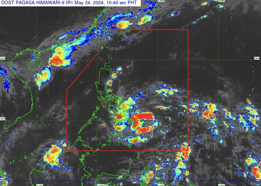
Tropical Depression Aghon (TD Aghon) maintained its strength as it moves west northwestward, according to Tropical Cyclone Bulletin Number 2 issued by state weather bureau PAGASA at 11 a.m. on May 24, 2024.
The center of TD Aghon was estimated based on all available data at 240 kilometers east of Hinatuan, Surigao del Sur at around 11 a.m. with maximum sustained winds of 45 km/h near the center and gustiness of up to 55 km/h.
TD Aghon moves west northwestward at 10 km/h. Strong winds extend outwards up to 220 km from its center.
WIND SIGNAL NUMBER 1
Tropical Cyclone Wind Signal Number 1 is hoisted over Sorsogon, Albay (Manito, Legazpi City, City of Tabaco, Rapu-Rapu, Santo Domingo, Malilipot, Bacacay, Malinao, Tiwi), Catanduanes and Camarines Sur (Caramoan, Garchitorena, Presentacion, Sagñay, San Jose, Lagonoy, Tigaon) in Luzon;
Eastern Samar, Samar, Northern Samar, Leyte (Babatngon, Tacloban City, Palo, Tanauan, Tolosa, Dulag, Mayorga, Macarthur, Abuyog, Javier) and Southern Leyte (Silago, Hinunangan, Hinundayan, Anahawan, San Juan, Liloan, Saint Bernard, San Ricardo, Pintuyan, San Francisco) in the Visayas; and
Dinagat Islands, Surigao del Norte including Siargao - Bucas Grande Group and Surigao del Sur (Carrascal, Cantilan, Madrid, Carmen, Lanuza, Cortes, City of Tandag) in Mindanao.
HAZARDS AFFECTING COASTAL WATERS
TD Aghon will bring moderate to rough seas (1.5 to 3.0 m) over the coastal waters along the northern and eastern seaboards of Eastern Visayas and the eastern seaboard of Caraga Region.
PAGASA advises mariners of motor bancas and similarly-sized vessels to take precautionary measures while venturing out at sea and, if possible, avoid navigating in these conditions, especially if inexperienced or operating ill-equipped vessels.
The next tropical cyclone bulletin will be issued at 2 p.m. today, May 24, 2024.