


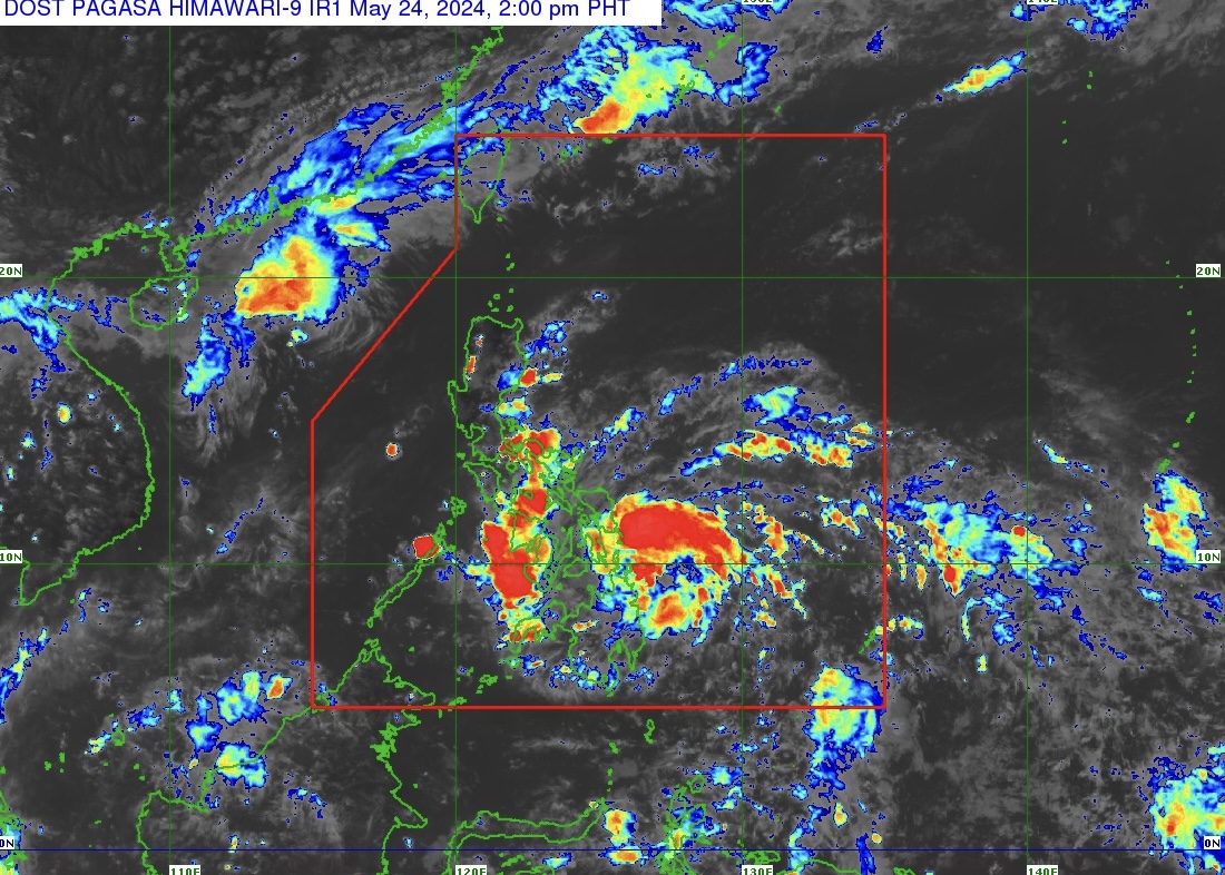
Tropical Depression Aghon (TD Aghon) intensifies slightly as it moves west northwestward at 25 kilometers per hour (km/h), according to state weather bureau PAGASA.
PAGASA in its Tropical Cyclone Bulletin Number 3, issued at 2 p.m. on May 24, 2024, said that the "center of TD Aghon was estimated based on all available data at 135 kilometers (km) east northeast of Hinatuan, Surigao del Sur.
TD Aghon has maximum sustained winds of 55 km/h near the center and gustiness of up to 70 km/h. Strong winds extend outwards up to 220 km from the center.
SIGNAL NUMBER 1 (WIND THREAT: STRONG WINDS)
Tropical Cyclone Wind Signal Number 1 is hoisted over Sorsogon, Albay, Catanduanes, Camarines Sur, Camarines Norte (San Vicente, San Lorenzo Ruiz, Basud, Daet, Talisay, Mercedes), and Masbate including Ticao Island and Burias Island in Luzon;
Eastern Samar, Samar, Northern Samar, Leyte, Southern Leyte, Biliran, and Camotes Groups of Islands in Cebu in the Visayas;
Dinagat Islands, Surigao del Norte including Siargao and Bucas Grande Islands, Surigao del Sur, Agusan del Sur (Sibagat, City of Bayugan, Prosperidad, San Francisco, Rosario, Bunawan, Trento), and Agusan del Norte in Mindanao.
HEAVY RAINFALL OUTLOOK
PAGASA advises the public of rainfall from May 24, 2024 until the afternoon of May 25, 2024 in:
• 100-200 millimeter (mm): Albay, Sorsogon, Northern Samar, Eastern Samar, Southern Leyte, Surigao del Norte, and Dinagat Islands
• 50-100 mm: Surigao del Sur, the rest of Eastern Visayas, Masbate including Ticao and Burias Islands, Catanduanes, the eastern portion of Camarines Sur, Western Visayas, and Zamboanga del Norte
FORECAST ACCUMULATED RAINFALL FROM MAY 25, 2024 TO MAY 26, 2024
• 100-200 mm: Bicol Region and Northern Samar
• 50-100 mm: The rest of Eastern Visayas, and the southern portion of Quezon including Polillo Islands
FORECAST ACCUMULATED RAINFALL FROM MAY 26, 2024 TO MAY 27, 2024
• 50-100 mm: Catanduanes, Camarines Norte, and Camarines Sur
Forecast rainfall is generally higher in elevated or mountainous areas.
HAZARDS AFFECTING COASTAL WATERS
TD Aghon will bring moderate to rough seas (1.5 to 3.5 meters) over the coastal waters along the northern and eastern seaboards of Eastern Visayas and the eastern seaboard of Caraga Region.
PAGASA advises mariners of motor bancas and similarly-sized vessels to take precautionary measures while venturing out at sea and, if possible, avoid navigating in these conditions, especially if inexperienced or operating ill-equipped vessels.
The next tropical cyclone bulletin will be issued at 5 p.m. today, May 24, 2024.