


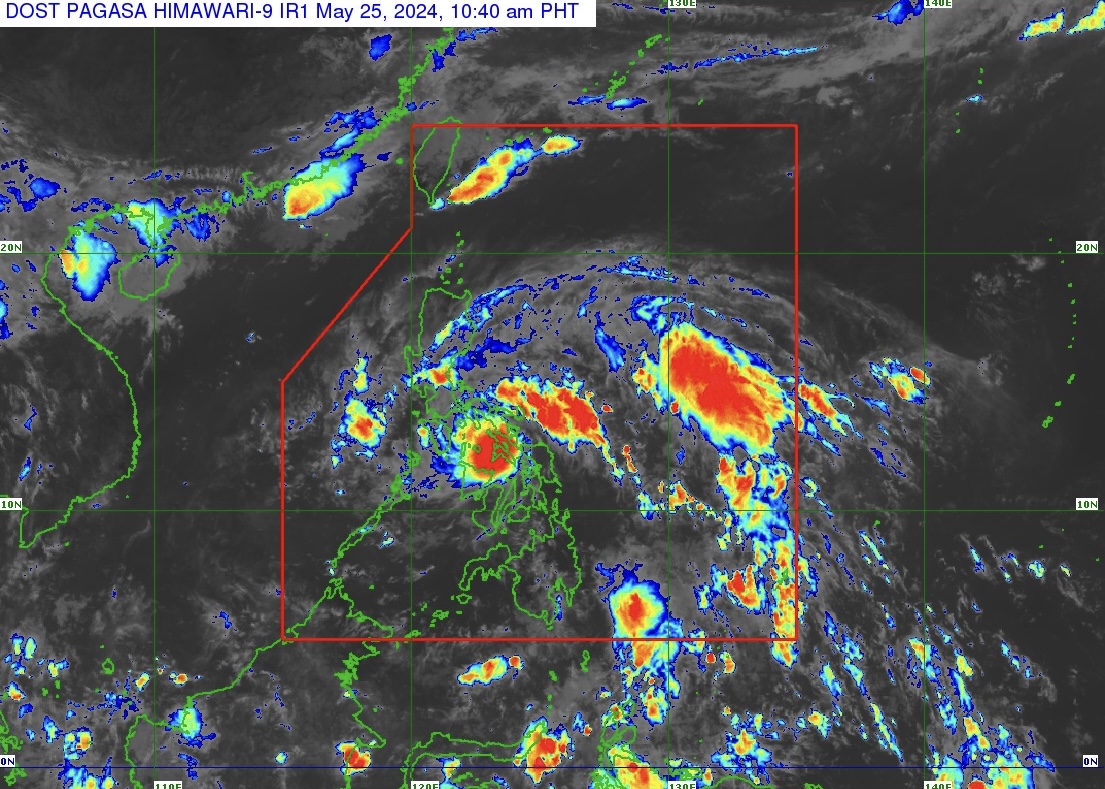
Tropical Depression “Aghon” (TD Aghon) maintains its strength and is now over the coastal waters of San Vicente, Northern Samar.
The center of TD Aghon was estimated based on all available data over the coastal waters of San Vicente, Northern Samar, based on state weather bureau PAGASA’s Tropical Cyclone Bulletin Number 10 issued at 11 a.m. on May 25, 2024.
TD Aghon moves northwestward at 30 km/h with maximum sustained winds of 55 km/h near the center and gustiness of up to 85 km/h.
TROPICAL CYCLONE WIND SIGNALS (TCWS) IN EFFECT
TCWS Signal Number 1 (strong winds) is raised over:
Luzon
The eastern portion of Bulacan (Norzagaray, Doña Remedios Trinidad, City of San Jose del Monte), the eastern portion of Nueva Ecija (General Tinio, Gabaldon), Aurora, the northern and southeastern portion of Quezon (Calauag, Guinayangan, Lopez, Buenavista, Catanauan, Mulanay, San Narciso, San Francisco, San Andres, Tagkawayan, Gumaca, Quezon, Alabat, Perez, Plaridel, Pitogo, Macalelon, General Luna, Atimonan, Unisan, Mauban, Real, Infanta, General Nakar, Padre Burgos, Agdangan, Sampaloc, Lucban, City of Tayabas, Pagbilao, Lucena City) including Pollilo Islands, the eastern portion of Laguna (Majayjay, Magdalena, Pagsanjan, Santa Cruz, Luisiana, Cavinti, Lumban, Kalayaan, Paete, Pangil, Siniloan, Mabitac, Santa Maria, Famy, Pakil), the eastern portion of Rizal (City of Antipolo, Rodriguez, Tanay, Baras, Jala-Jala, Pililla, Morong, Teresa, San Mateo), the eastern portion of Romblon (Cajidiocan, Magdiwang, San Fernando, Romblon, Corcuera, Banton), Marinduque, Sorsogon, Albay, Catanduanes, Camarines Sur, Camarines Norte, Masbate including Ticao and Burias Islands;
Visayas
Northern Samar, Samar, Eastern Samar (Can-Avid, Maslog, City of Borongan, San Policarpo, Taft, Llorente, Maydolong, Dolores, Jipapad, Oras, Arteche, Balangkayan, Sulat, San Julian, Lawaan, Balangiga, General Macarthur, Giporlos, Quinapondan, Hernani), Biliran, the northern portion of Leyte (Tunga, Pastrana, San Miguel, Matag-Ob, Tolosa, Palo, Calubian, Leyte, Carigara, Babatngon, Dagami, Jaro, San Isidro, Santa Fe, Villaba, Palompon, Tabontabon, Tanauan, Merida, Ormoc City, Isabel, Capoocan, Alangalang, Tabango, Tacloban City, Kananga, Barugo), and the extreme northern portion of Cebu (San Remigio, Tabogon, City of Bogo, Medellin, Daanbantayan, Borbon) including Bantayan Islands.
HEAVY RAINFALL OUTLOOK
Forecast accumulated rainfall: From May 25, 2024 to May 26, 2024 noontime
• 100-200 mm: Bicol Region, Northern Samar, and the northern portion of Samar
• 50-100 mm: Eastern portion of Isabela, Aurora, Quezon including Polillo Islands, Marinduque, Romblon, the rest of Samar, Eastern Samar, Biliran, the northern portions of Western Visayas, Leyte, and Cebu
Forecast accumulated rainfall: May 26, 2024 noontime to May 27, 2024
• 100-200 mm: Camarines Norte, Camarines Sur, and Catanduanes.
• 50-100 mm: Quezon, Aurora, and the rest of Bicol Region
Forecast rainfall are generally higher in elevated or mountainous areas.
HAZARDS AFFECTING COASTAL WATERS
TD Aghon will bring moderate to rough seas (1.5 to 3.5 m) over the coastal waters along the seaboards of Bicol Region, the southern seaboard of Quezon, the eastern seaboard of Eastern Visayas, the western seaboard of Samar and Northern Samar, and the eastern seaboard of Caraga Region.
Mariners of motor bancas and similarly-sized vessels are advised to take precautionary measures while venturing out to sea and, if possible, avoid navigating in these conditions, especially if inexperienced or operating ill-equipped vessels.
The next tropical cyclone bulletin will be issued at 2 p.m. today, May 25, 2024.