


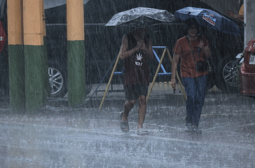
From the sweltering heat of the first quarter of 2024, several areas in Batangas experienced heavy rains on June 5 due to localized thunderstorms, according to the Philippine Atmospheric, Geophysical, and Astronomical Services Administration (PAGASA).
"Kasabay nito ang trough o extension ng LPA kaninang umaga. ‘Yung hangin na nanggagaling dito at ‘yung southwesterly windlfow ay nagsasalubong [kaya] nagkakaroon tayo ng pagbuo ng thunderstorm clouds o ‘yung cumulonimbus clouds," Henri Hermenegildo, a weather specialist from the Department of Science and Technology (DOST) - PAGASA, said.
The chance of the LPA entering the Philippine Area of Responsibility (PAR) and having a direct impact on the country remains low, but its trough extends to parts of Luzon.
"Ito naman po ay papalayo sa ating bansa so wala po itong direktang epekto sa mga pag-ulan sa ating bansa. Kung kaya ang atin pong mararanasan hanggang sa mga susunod na araw ay localized thunderstorm. Maliban na lamang po kung lumakas ang ating southwesterly windflow," Hermenegildo said.
PAGASA advised the public to expect cloudy to rainy weather in the coming days and to always carry rain protection.
