


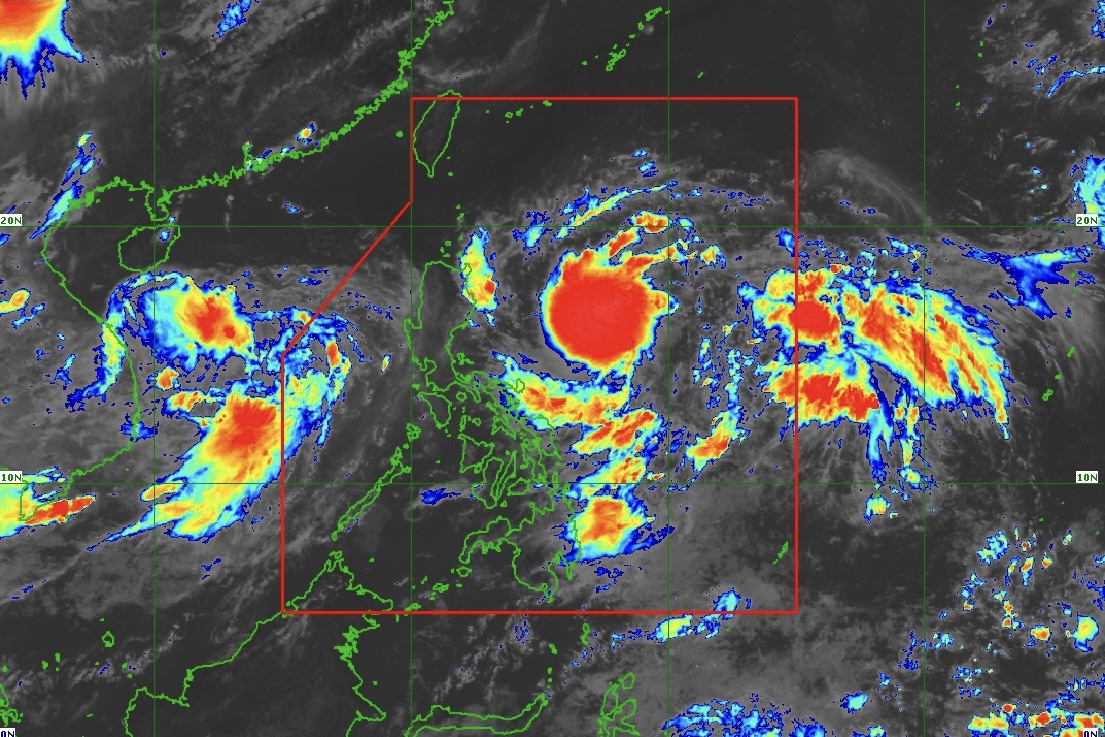
Tropical Depression “Carina” (TD Carina) maintains its strength while moving west northwestward over the Philippine Sea, according to PAGASA’s Tropical Cyclone Bulletin Number 3 issued at 11 a.m. on July 20, 2024.
The center of #TDCarina was estimated based on all available data at 510 km East Northeast of Virac, Catanduanes (15.3°N, 128.6°E).
Intensity:
Maximum sustained winds of 55 km/h near the center, gustiness of up to 70 km/h, and central pressure of 1004 hPa
Present Movement:
West northwestward at 30 km/h
Extent of Tropical Cyclone Winds:
Strong winds extend outwards up to 200 km from the center
Tropical Cyclone Wind Signals (TCWS) in effect:
No Wind Signal hoisted at this time
Other Hazards Affecting Land Areas:
Heavy Rainfall Outlook
Heavy rainfall directly caused by #TDCarina remains less likely over the next three days. However, there may be changes in the current forecast scenario in the succeeding bulletins, which may affect the heavy rainfall outlook within the forecast period.
The Southwest Monsoon that will be enhanced by #TDButchoy and #TDCarina will bring moderate to heavy rains over the western portion of Luzon over the next three days. For more information, refer to Weather Advisory No. 21 issued at 11 a.m. on July 20, 2024.
Severe Winds:
Based on the latest forecast scenario, the hoisting of Wind Signal No. 1 over Extreme Northern Luzon and the eastern portion of Northern Luzon is not ruled out.
The Southwest Monsoon that will be enhanced by #TDButchoy and #TDCarina will bring gusty conditions over the following areas (especially in coastal and upland areas exposed to winds):
• Today (July 20) and tomorrow (July 21): Kalayaan Islands
• Monday (July 22): CALABARZON, MIMAROPA, Bicol Region, Western Visayas, Zambales, Bataan, and Metro Manila
Hazards Affecting Coastal Waters
#TDCarina and the Southwest Monsoon will bring moderate seas (1.0-2.0 m) over the coastal waters along the eastern seaboard of Mindanao. Mariners of motor bancas and vessels of similar size are advised to take precautionary measures while venturing out to sea.
Track and Intensity Outlook:
• #TDCarina is forecast to move generally northwestward until tomorrow while gradually decelerating. It is then forecast to turn generally northward on Monday before accelerating northward or north northwestward over the Philippine Sea towards the Ryukyu archipelago from Tuesday (July 23) onwards. In general, #TDCarina will generally have a mainly offshore path over the next five days and remain far from the Philippine landmass.
• #TDCarina is forecast to steadily intensify and reach tropical storm category within the next 12 to 24 hours. Beginning on Monday, the tropical cyclone will likely intensify further at a faster rate, eventually reaching typhoon category on Tuesday (July 23).
Considering these developments, the public and disaster risk reduction and management offices concerned are advised to take all necessary measures to protect life and property.
Persons living in areas identified to be highly or very highly susceptible to these hazards are advised to follow evacuation and other instructions from local officials.
For heavy rainfall warnings, thunderstorm/rainfall advisories, and other severe weather information specific to your area, please monitor products issued by your local PAGASA Regional Services Division.
The next tropical cyclone bulletin will be issued at 5 p.m. today, July 20, 2024.
(Info courtesy: DOST-PAGASA)
