


Up to 11 to 19 storms may enter the Philippine Area of Responsibility (PAR) until November 2025, the Philippine Atmospheric, Geophysical and Astronomical Services Administration (PAGASA) said.
These storms may be stronger than the 21 storms experienced in 2024 due to El Niño, the state weather bureau said.
One to two storms may enter in June; two to three in July and August; two to four in September and October; and two to three others in November.
“Medyo malalakas. Lalo may mga naging El Niño event. Kaya malalakas ang mga mabubuong bagyo,” Engr. Jose Estrada Jr., Chief Meteorological Officer of PAGASA Dagupan Station, warned.
As of June 6, 2025, PAGASA is monitoring a low-pressure area (LPA) over the Visayas, which is expected to move toward Luzon by Sunday, June 8. It may develop into a tropical depression.
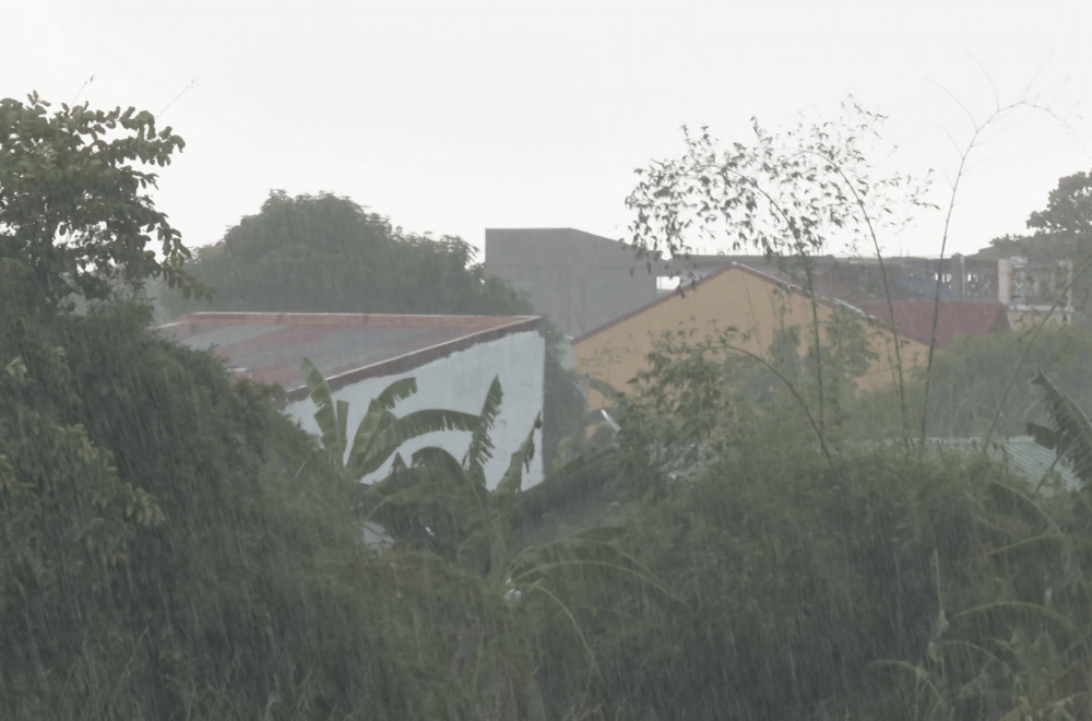
The LPA's trough will still bring heavy rain over Visayas and Mindanao, while Northern Luzon will experience light to moderate rain.
The Office of Civil Defense Region 1 (OCD-1) said it has activated response plans and that all Regional Disaster Risk Reduction and Management Council (RDRRMC) agencies are on alert.
“Sa ating mga local DRRMOs, constant naman po, may mga nakahanda, naka-maintain at naka-preposition naman na sila ng iba’t ibang response assets if ever kailangan po nilang rumesponde,” Adreanne Pagsolingan, PIO of OCD-1, said.
OCD-1 also reminded residents to cooperate with preemptive evacuations during storms for their safety.
“Mag-prepare ng kani-kanilang ‘Go Bags’ na if ever man po, ‘pag kailangan nilang lumikas sa kanilang kabahayan ay may handa silang gamit,” Pagsolingan added.
