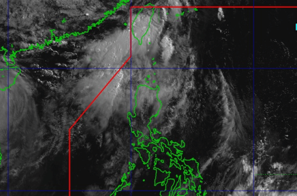
Tropical Cyclone (TC) #AuringPH weakened into a low pressure area early Friday, June 13, but the Philippine Atmospheric, Geophysical and Astronomical Services Administration (PAGASA) said the southwest monsoon will likely continue bringing strong winds and rough seas over parts of Northern Luzon.
As of 8 a.m., PAGASA said no other low pressure areas or tropical cyclones were being monitored for possible formation.
While Auring no longer posed major rainfall threats, PAGASA warned that strong to near-gale winds from the southwest monsoon might still affect Batanes and the Babuyan Islands.
The weather bureau also raised warnings over rough sea conditions. Waves could reach 2.5 to 3.0 meters along the coasts of the Ilocos Region, Zambales, Batanes, and Babuyan Islands.
Mariners of small boats and motorbancas were advised not to sail, especially if inexperienced or using poorly-equipped vessels.
Meanwhile, moderate sea conditions (up to 2.5 meters) were expected along the western coasts of Bataan and Occidental Mindoro. PAGASA advised mariners in these areas to stay cautious and avoid sea travel if possible.
The remnant low was expected to continue moving northward or northeastward and merge with a frontal system.


