


Up to three tropical cyclones may enter the Philippine Area of Responsibility (PAR) this August, with some systems expected to pass directly over Northern Luzon, according to the latest forecast by PAGASA.
The weather bureau said two of the expected storms may move toward Northern Luzon from Northern Visayas or Central Luzon. Another could veer toward Taiwan or Southern China.
“Doon sa information domain, doon na natin makikita kung ano itong lakas o category itong possibility na papasok sa Philippine Area of Responsibility po natin,” Engr. Jose Estrada Jr., Chief Meteorological Officer of PAGASA Dagupan Station, said.
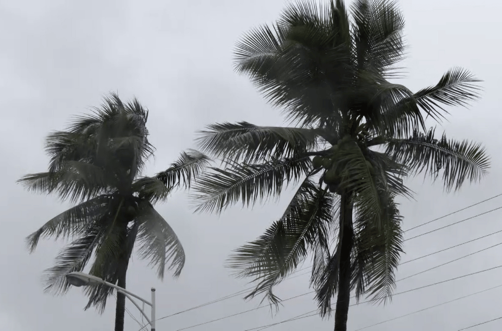
Even without a named typhoon, PAGASA warns that the southwest monsoon (habagat) will continue to bring rains in the coming days. Localized thunderstorms are expected, especially in the afternoon and early morning.
“Localized thunderstorms pagsapit ng hapon. ‘Yan ang aasahan natin. Lalo pagdating ng madaling araw din ay nagkakaroon pa rin tayo ng localized thunderstorms,” Estrada added.
Meanwhile, flooding continues to affect some areas in Pangasinan. Calasiao and Dagupan City are reporting improved conditions, with water levels now receding. However, in Bautista town, two barangays remain submerged.
“Ang Calasiao at Dagupan City, bumababa na ‘yung tubig-baha. Samantalang sa Bautista, may dalawang barangay na reported na binabaha,” Avenix Arenas, Assistant DRRM Officer of Pangasinan, said.
Most evacuees in the region have returned to their homes, but 21 families, or 85 individuals, remain at the Regional Evacuation Center in Calasiao.
As of this morning, the Provincial Disaster Risk Reduction and Management Office (PDRRMO) has lowered its alert status to white, signaling a return to normal operations.
Authorities still urge the public to stay alert for sudden weather changes and be prepared for emergencies.
