


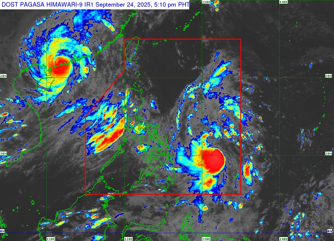
#OpongPH intensified into a severe tropical storm over the Philippine Sea, as of 5 p.m. on Wednesday, September 24, 2025, based on Tropical Cyclone Bulletin Number 5 issued by state weather bureau PAGASA.
Tropical Cyclone Wind Signal Number 2 (gale-force winds) is hoisted over Northern Samar and the northern portion of Eastern Samar (San Policarpo, Oras, Jipapad, and Arteche towns).
Tropical Cyclone Wind Signal Number 1 (strong winds) is raised over Catanduanes, Camarines Sur, Albay, Sorsogon, and Masbate in Southern Luzon; and Samar, the rest of Eastern Samar, Biliran, and the northern portion of Leyte (Barugo, San Miguel, Babatngon, Tacloban City, Calubian, Leyte, Capoocan, Carigara, and Palô).
As of 4 p.m., the center of #OpongPH was estimated based on all available data at 670 km East of Surigao City, Surigao del Norte (10.0°N, 131.6°E), packing maximum sustained winds of 95 km/h near the center, gustiness of up to 115 km/h, and central pressure of 990 hPa.
#OpongPH is moving west northwestward at 20 km/h, with strong to storm-force winds extending outwards up to 450 km from the center.
