


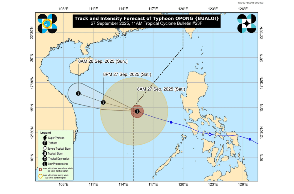
Typhoon #OpongPH left the Philippine Area of Responsibility (PAR) morning on Saturday, September 27, 2025, but it will continue to enhance the southwest monsoon, bringing rains and gusty winds over parts of Luzon and Western Visayas.
At 10 a.m., Opong was located 645 kilometers west of Sangley Point in Cavite City, according to PAGASA.
It packed maximum sustained winds of 120 kilometers per hour and gusts of up to 150 km/h while moving west-northwest at 35 km/h toward northern Vietnam. It is expected to strengthen further as it heads toward northan Vietnam.
No tropical cyclone wind signals are currently in effect, but PAGASA said the storm is still influencing local weather.
The southwest monsoon, strengthened by Opong, will bring strong to gale-force gusts today across Luzon, Western Visayas, and Negros Occidental, especially in coastal and upland areas.
Sea conditions:
- Rough seas (up to 3.5 m): Lubang Island, Kalayaan Islands
- Rough seas (up to 3.0 m): Batanes, Cagayan (including Babuyan Islands), Isabela, Ilocos Norte, Zambales, Bataan, Calamian Islands, northern Palawan
- Moderate seas (up to 2.5 m): Aurora, Polillo Islands, Occidental Mindoro, Palawan
PAGASA advised operators of small boats and motorbancas to avoid sailing in these waters, as sea travel remains risky.
