


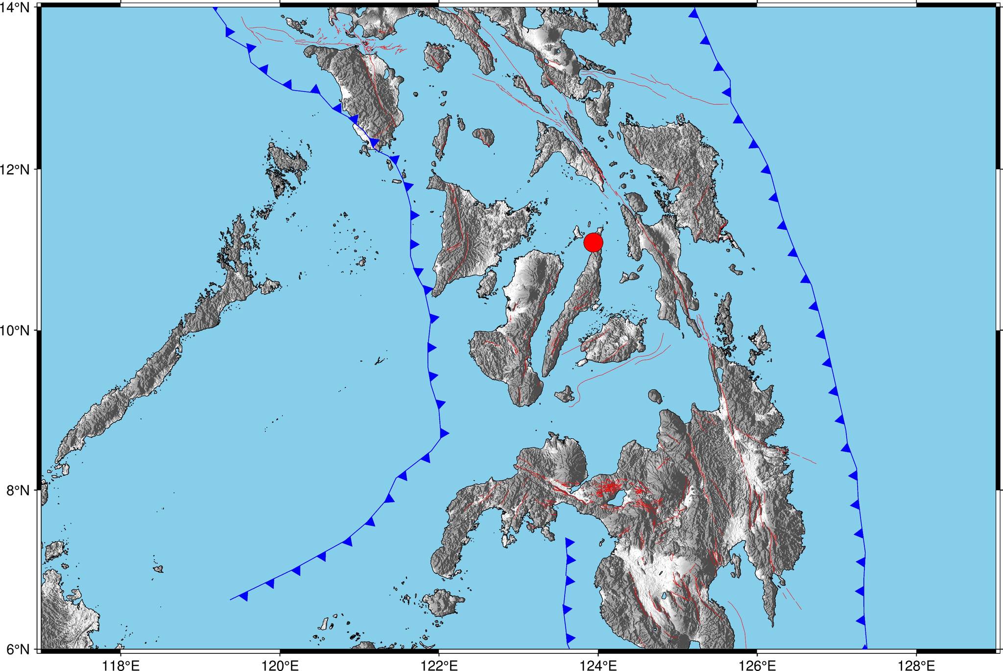
The epicenter of the magnitude 6.9 earthquake in Cebu was located in the waters northeast of Bogo City, but because the depth was just five kilometers the quake created a huge impact on the surface.
Robinson Jorgio, officer in charge of the Philippine Institute of Volcanology and Seismology (PHIVOLCS) Visayas Cluster Monitoring Center for Earthquake and Tsunami, said that because the earthquake originated from a depth of just five kilometers from the said fault line, the jolting was felt in the entire Province of Cebu and neighboring provinces.
Jorgio pointed out that the area is not included in the list of potentially active fault lines in Bogo City in their Hazard Hunter Fault Map.
However, Jorgio said that it cannot be considered a potentially new active fault line since in the late part of the 1990s, he already made an assessment in northern Cebu, particularly in Bogo City, based on reports from Barangay Gairan residents on unusual ground movements felt, referred to in seismology jargon as “earthquake swarm.”
As the magnitude reached 6.9, PHIVOLCS issued a tsunami alert immediately night of September 30, 2025. However, it was lifted a few minutes after, as no unusual movements in the waters were observed.
Further, PHIVOLCS logged over 600 aftershocks in Bogo City based on its monitoring system in adjacent Medellin town.
Aside from the said offshore fault line, there are three other potentially active fault lines in Bogo City, and one in Daanbantayan town in northernmost Cebu Province.
