


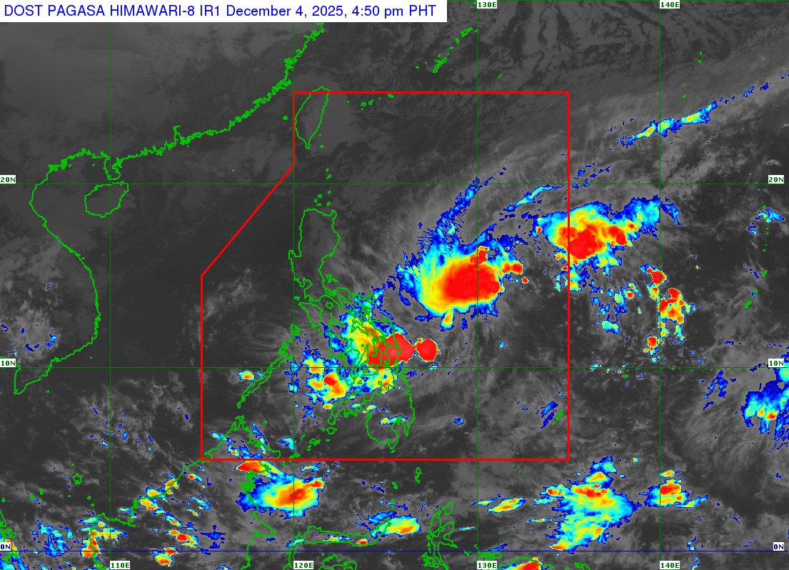
Tropical Depression (TD) Wilma decelerates while moving over the Philippine Sea east of Northern Samar, based on PAGASA weather bulletin issued at 5 p.m. on Thursday, December 4, 2025.
As of 4 p.m. on December 4, the center of TD Wilma was estimated based on all available data at 575 km East of Catarman, Northern Samar (12.3°N, 129.9°E).
Intensity:
Maximum sustained winds of 45 km/h near the center, gustiness of up to 55 km/h, and central pressure of 1004 hPa
Present Movement:
West southwestward at 10 km/h
Extent of Tropical Cyclone Winds:
Strong winds extend outwards up to 220 km from the center
TROPICAL CYCLONE WIND SIGNALS (TCWS) IN EFFECT
TCWS No. 1
Wind threat: Strong winds
Warning lead time: 36 hours
Range of wind speeds: 39 to 61 km/h (Beaufort 6 to 7)
Potential impacts of winds: Minimal to minor threat to life and property
Luzon
The southern portion of mainland Masbate (Cataingan, Pio V. Corpuz, Esperanza, Placer)
Visayas
Northern Samar, Eastern Samar, Samar, Biliran, Leyte, Southern Leyte, the northern portion of Cebu (Daanbantayan, Medellin, City of Bogo, San Remigio, Tabogon, Borbon, Tabuelan, Tuburan, Sogod, Catmon, Asturias, Carmen, Danao City, Balamban, Compostela, Liloan, Consolacion, Cebu City, Mandaue City, Cordova, Lapu-Lapu City) including Bantayan and Camotes Islands, and the eastern and central portions of Bohol (Inabanga, Sagbayan, Carmen, Garcia Hernandez, Jagna, Sierra Bullones, Pilar, Duero, Guindulman, Anda, Candijay, Mabini, Alicia, Ubay, Pres. Carlos P. Garcia, San Miguel, Dagohoy, Danao, Buenavista, Getafe, Trinidad, Talibon, Bien Unido)
Mindanao
Surigao del Norte including Siargao and Bucas Grande Islands, Dinagat Islands, the northern portion of Surigao del Sur (Carrascal, Cantilan, Madrid, Carmen), and the northern portion of Agusan del Norte (Kitcharao, Jabonga, Santiago, Tubay, City of Cabadbaran
