


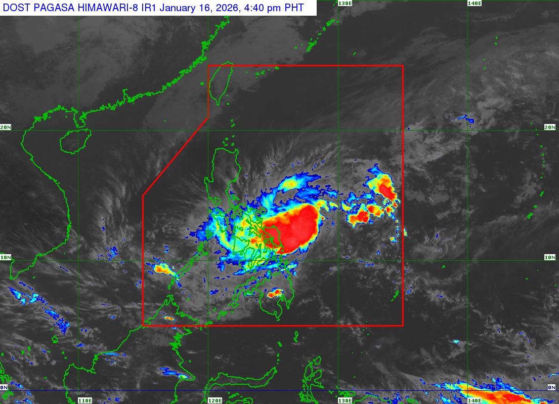
Tropical Storm Ada maintains its strength as it moves northwestward over the sea east of Eastern Visayas, based on the 5 p.m. advisory of state weather bureau PAGASA on Friday, January 16, 2026.
As of 4 p.m., the center of #AdaPH was estimated based on all available data at 255 km East Northeast of Borongan City, Eastern Samar or 335 km East of Catarman, Northern Samar (12.3°N, 127.7°E).
Intensity:
Maximum sustained winds of 65 km/h near the center, gustiness of up to 80 km/h, and central pressure of 998 hPa
Present Movement:
Northwestward at 20 km/h
Extent of Tropical Cyclone Winds:
Strong to gale-force winds extend outwards up to 400 km from the center
TROPICAL CYCLONE WIND SIGNAL (TCWS) IN EFFECT
TCWS No. 1
Wind threat: Strong winds
Warning lead time: 36 hours
Range of wind speeds: 39 to 61 km/h (Beaufort 6 to 7)
Potential impacts of winds: Minimal to minor threat to life and property
Luzon:
The southern portion of Quezon (San Narciso, Mulanay, San Francisco, San Andres, Buenavista, Catanauan, Lopez, Calauag, Guinayangan, Tagkawayan), Camarines Norte, Camarines Sur, Catanduanes, Albay, Sorsogon, and Masbate
Visayas:
Northern Samar, Samar, Eastern Samar, Biliran, Leyte, Southern Leyte, and the northern portion of Cebu (Medellin, Daanbantayan, San Remigio, City of Bogo, Tabogon) including Camotes Islands and Bantayan Islands
Mindanao:
Dinagat Islands and Siargao - Bucas Grande Islands
