


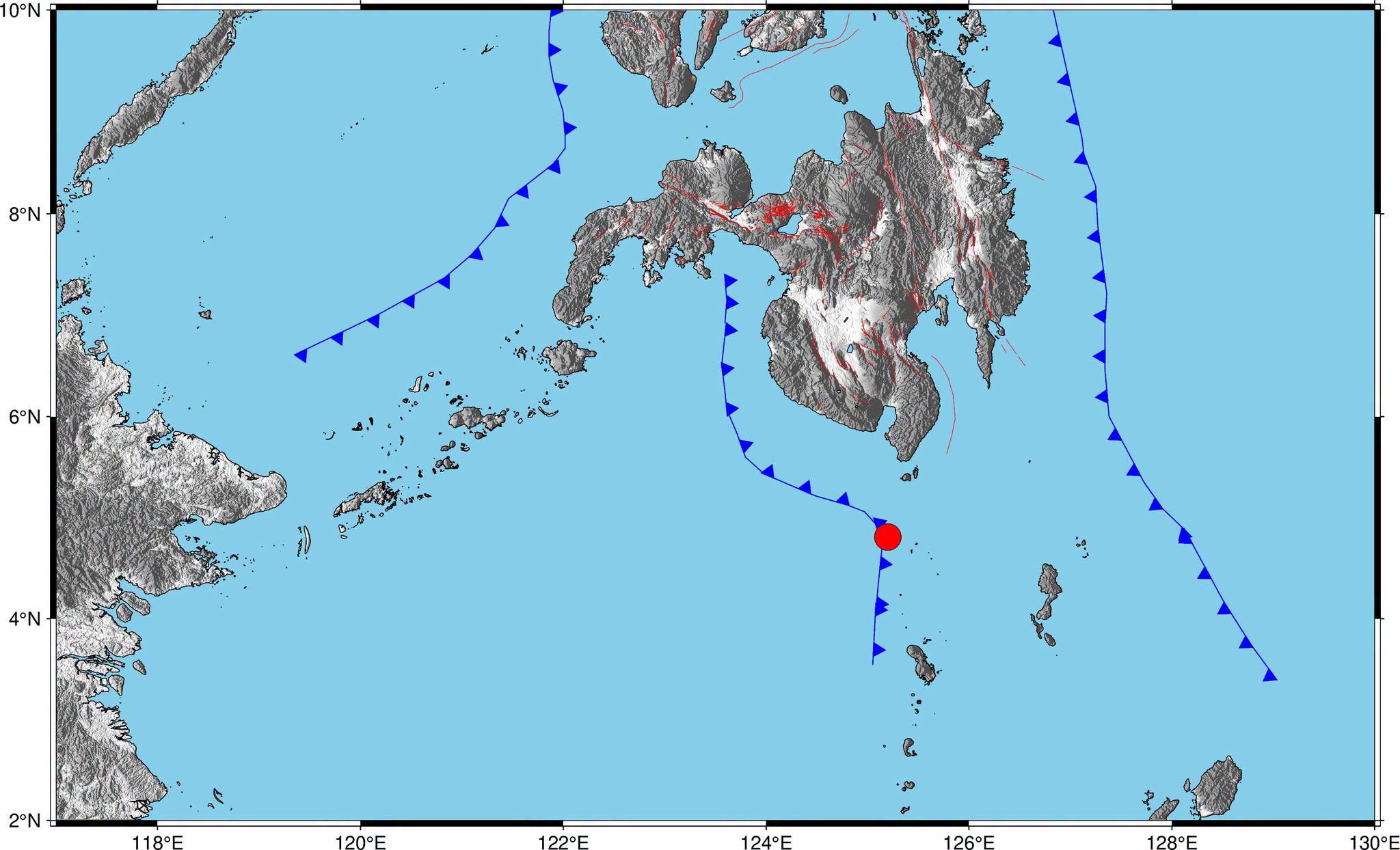
A magnitude 4.9 earthquake struck off the coast of Sarangani, Davao Occidental around 12:03 p.m. on Thursday, June 25, 2026.
According to the Philippine Institute of Volcanology and Seismology (PHIVOLCS), the epicenter was located 05.15°N, 125.14°E - 042 km S 48° W of Balut Island.
PHIVOLCS initially recorded the magnitude at 5.3 before downgrading it to 4.9.
The earthquake had a depth of 39 kilometers and was tectonic in origin.
PHIVOLCS added that it was an aftershock of the magnitude 7.8 earthquake that struck Sarangani on June 8, 2026.
Reported Intensities:
Intensity III - Kiamba, Maasim, and Malapatan, Sarangani; T'Boli, South Cotabato
Intensity II – City of General Santos; Maitum and Malungon, Sarangani; Tupi, South Cotabato; Palimbang and Bagumbayan, Sultan Kudarat
Intensity I - Surallah, South Cotabato
Instrumental Intensities:
Intensity III – City of General Santos; Maasim, Malapatan, and Kiamba, Sarangani; T'Boli, South Cotabato
Intensity II - Malitbog, Bukidnon; Palimbang, Sultan Kudarat; Tupi, South Cotabato; Maitum and Malungon, Sarangani
Intensity I - Suralla, Tampakan, and City of Koronadal, South Cotabato; City of Digos, Davao del Sur; Santa Maria, Davao Occidental; City of Kidapawan, Cotabato
