


A magnitude 5.2 earthquake rocked Glan, Sarangani around 2:57 on Thursday, June 18, 2026, according to the Philippine Institute of Volcanology and Seismology (PHIVOLCS).
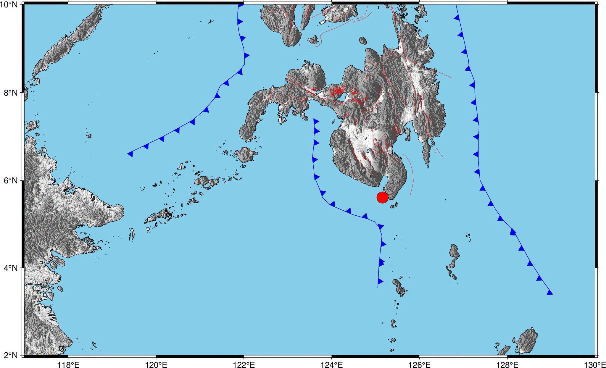
PHIVOLCS said the epicenter was located 05.67°N, 125.09°E - 021 km S 37° W of Glan, and the quake had a depth of 45 kilometers.
The earthquake was initially recorded as a magnitude 5.4, but it was downgraded later to magnitude 5.2.
PHIVOLCS added that it was tectonic in origin and an aftershock of the magnitude 7.8 earthquake that struck the province on June 8, 2026.
Reported Intensities:
Intensity V - Malungon and Kiamba, Sarangani; City of General Santos
Intensity IV - Glan, Sarangani; T'Boli, South Cotabato; Sarangani, and Malita, Davao Occidental
Intensity III - Malapatan, Alabel, and Maitum, Sarangani; Santa Maria, Davao Occidental; City of Koronadal, Surallah, Santo Niño, and Tupi, South Cotabato
Intensity II - Isulan, Sultan Kudarat; Tampakan, and Banga, South Cotabato
Intensity I – City of Davao; City of Tacurong, and Columbio, Sultan Kudarat; Norala, and Tantangan, South Cotabato
Instrumental Intensities:
Intensity V – City of General Santos
Intensity IV - Maasim and Kiamba, Sarangani; T'Boli, South Cotabato; Sarangani, and Don Marcelino, Davao Occidental
Intensity III- Malapatan, Maitum, and Malungon, Sarangani; Tupi, Santo Niño, and City of Koronadal, South Cotabato; Santa Maria, and Malita, Davao Occidental; City of Digos, Davao del Sur
Intensity II - Surallah, and Banga, South Cotabato; Magsaysay, and Matanao, Davao del Sur
Intensity I – City of Davao; City of Kidapawan, Cotabato; Columbio, President Quirino, and Kalamansig, Sultan Kudarat; Tantangan, and Norala, South Cotabato
