

TD Paolo expected to bring heavy rains by Friday
Tropical Depression Paolo could bring heavy rains, strong winds, and coastal flooding to parts of Northern and Central Luzon by Friday, according to PAGASA.
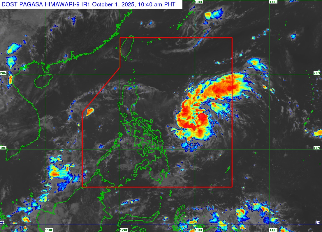
Paolo was last spotted 760 kilometers east of Virac, Catanduanes, packing maximum sustained winds of 45 km/h near the center and gusts of up to 55 km/h, according to PAGASA’s 11:00 a.m. bulletin.
It is moving westward at 25 km/h, with strong winds extending up to 360 km from the center.
No tropical cyclone wind signals have been raised so far, but PAGASA said Signal No. 1 may be hoisted over the eastern sections of Northern and Central Luzon as early as Tuesday afternoon or evening.
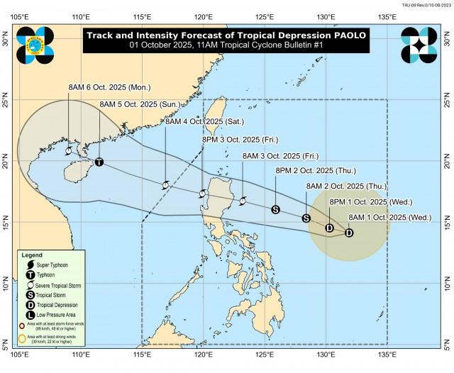
PAGASA added that the highest wind signal expected during Paolo’s passage is Signal No. 3 and that there is a possibility of raising Signal No. 4 if Paolo reaches typhoon strength before landfall.
Paolo is forecast to make landfall over Isabela or northern Aurora on Friday morning or afternoon.
The tropical depression is expected to intensify into a severe tropical storm by Friday morning and could strengthen into a typhoon before making landfall. —VAL, GMA Integrated News
