

PHIVOLCS conducts tsunami inundation assessments in Sultan Kudarat
A Quick Response Team (QRT) Assessment by personnel from the Philippine Institute of Volcanology and Seismology (PHIVOLCS) is ongoing in areas affected by the tsunami following the magnitude 7.8 earthquake in offshore Sarangani on Monday, June 8.
According to PHIVOLCS, QRT assessments are being conducted in the municipalities of Lebak and Kalamansig, where the effects of tsunami inundation were observed.
Tsunami inundation is the horizontal, inland penetration of waves from the shoreline, or the overflowing of water onto land that is normally dry.
PHIVOLCS said the tsunami inundation from the shoreline of Barangay Kinodalan in Lebak went up to approximately 16 meters or more.
According to the International Tsunami Information Center (ITIC), when the tsunami reaches the coast and moves inland, the water level can rise many meters, and the first wave may not be the largest in the series of waves.
“One coastal community may see no damaging wave activity, while another nearby community can be attacked by large and violent waves,” the ITIC said.
Simultaneously, the PHIVOLCS said it is also conducting assessments in Barangay Tibpuan in Sultan Kudarat, where a tsunami river intrusion was observed.
What happened on June 8 when the strong earthquake struck Mindanao?
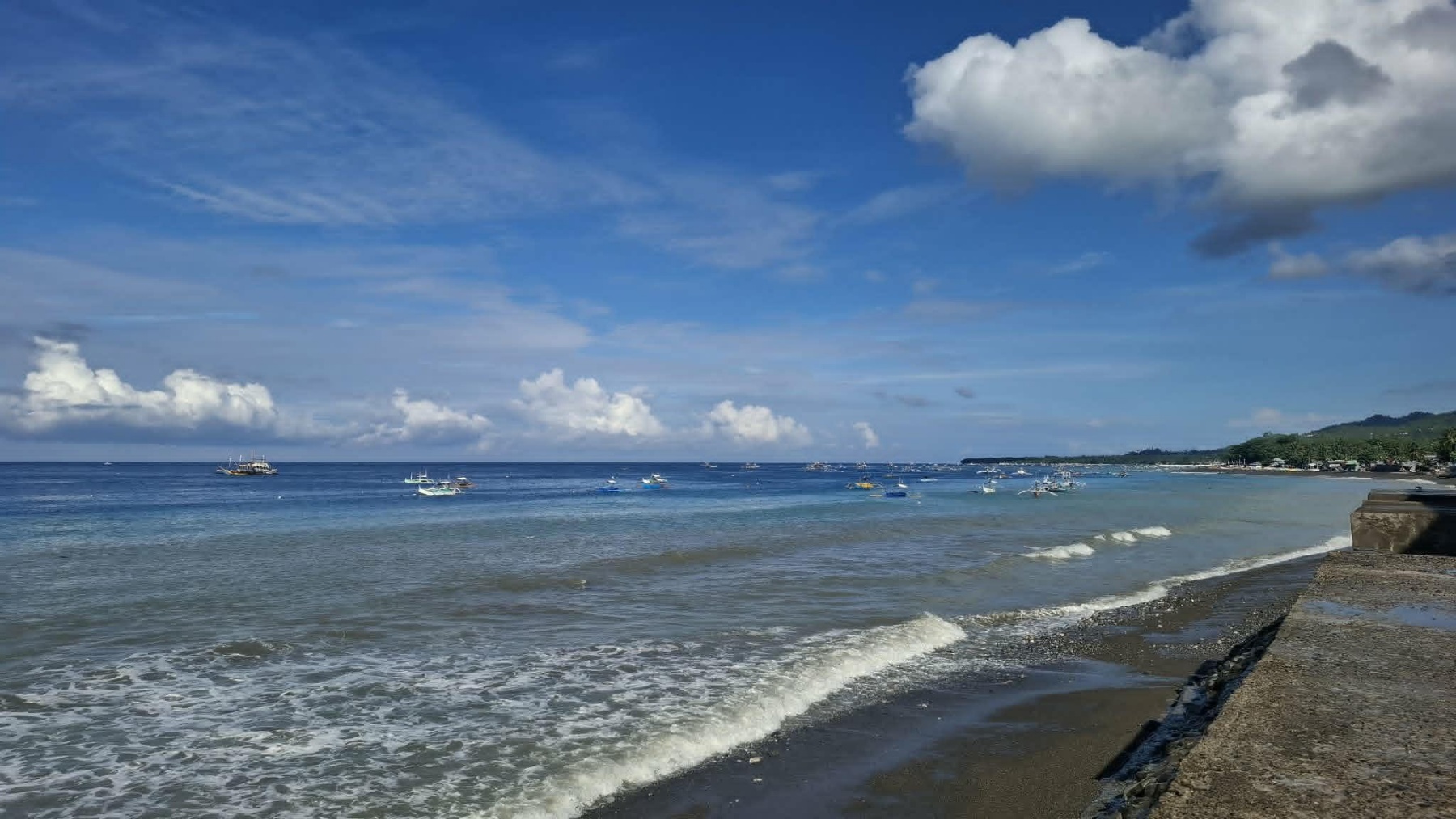
Aside from the major earthquake, tsunami waves, with a height of approximately one meter, were also recorded along the coasts of Kiamba and Maasim in Sarangani, and of Kalamansig in Sultan Kudarat on Monday.
Tsunami waves less than onr meter in height were also recorded in Mati City and Zamboanga City, according to data from PHIVOLCS’ Sea Level Monitoring Stations.
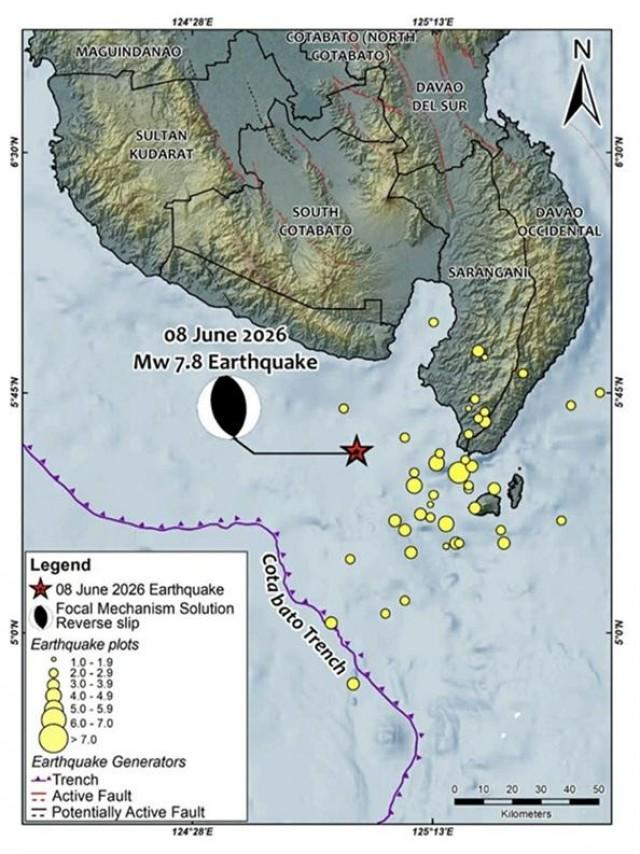
In an incident primer of PHIVOLCS, the earthquake and tsunami can be attributed to subduction along the Cotabato Trench.
“Based on the location of the earthquake, focal mechanism, and aftershock distribution, the earthquake may be attributed to subduction along the Cotabato Trench,” PHIVOLCS said.
Subduction occurs when an oceanic plate runs into a continental plate and slides beneath it. This process produces hazards such as earthquakes and tsunamis.
PHIVOLCS explained that Sarangani and neighboring provinces experience earthquakes because they are situated in “one of the seismically active regions in the country.”
“The coast of Sarangani faces the Cotabato Trench, a major earthquake-generating structure. Additionally, there are local faults in proximity, some potentially concealed by recent deposits,” PHIVOLCS said.
In 1976, a magnitude 8.1 earthquake struck near the Moro Gulf along the Cotabato Trench and triggered a tsunami that killed an estimated 8,000 people in Mindanao.
The Moro Gulf earthquake 50 years ago was one of the deadliest disasters in Philippine history. — BAP, GMA News
