

PHIVOLCS launches web app revealing areas exposed to tsunami hazards
A website application that calculates the risks of tsunami in a location has been launched by the Philippine Institute of Volcanology and Seismology (PHIVOLCS) on Tuesday.
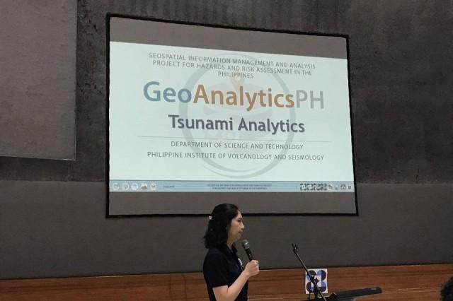
The GeoAnalyticsPH was launched on November 5, World Tsunami Awareness Day.
Presented by Mabelline Cahulogan of GeoRisk Philippines, the website provides summary reports of the tsunami exposure level of barangays, municipalities, and provinces across the country.
The app calculates the area’s population that is exposed to tsunami risk, as well as the different heights of tsunami possible with their corresponding number of affected persons in case of the disaster.
It also provides statistics such as age group and sex of tsunami-exposed population.
Cahulogan said the website application aims to be the central source of information for accurate and efficient hazard and risk assessment helping the local and national governments in disaster management.
Through this application, planners and decision makers in the government can now project the size of resources they need and the types of developments that should be worked on in a specific area in light of a possible tsunami.
GeoAnalyticsPH will be available at geoanalytics.georisk.gov.ph.
In July, HazardHunterPH, an application that can detect natural hazards of a provided location, was also launched as part of government's disaster risk reduction efforts. — BM, GMA News
