

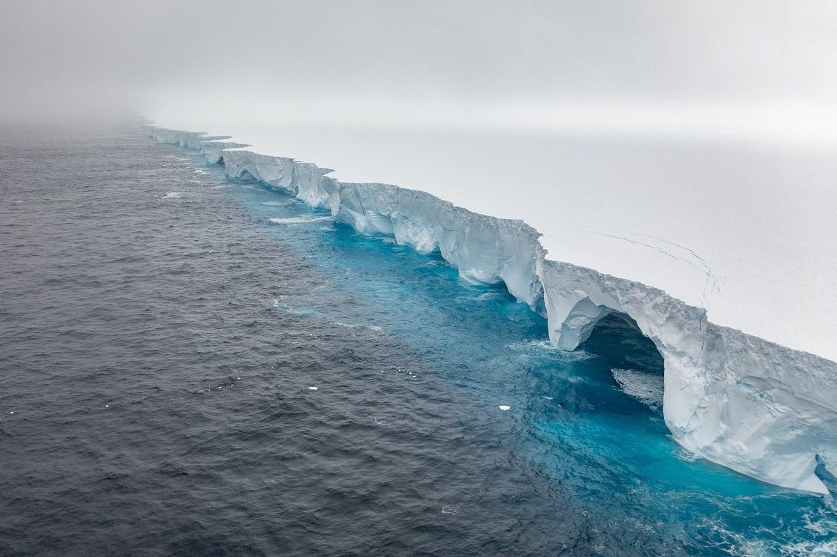
How AI is unlocking secrets of Antarctica’s deep-sea creatures
British Antarctic Survey (BAS) scientists have deployed artificial intelligence (AI) to cut seafloor image analysis from hours—or even years—to seconds, accelerating efforts to map Antarctica's vulnerable marine ecosystems.
The AI tool, developed by the BAS AI Lab, processes high-resolution photographs and video from underwater cameras, swiftly identifying and labelling deep-sea species such as starfish, corals, sponges, and fish.
Trained on 100 carefully annotated images from Germany's RV Polarstern expedition in the Weddell Sea—captured at depths of 1,900 to 2,150 meters—the model handles challenges like overlapping organisms and novel species adapted to sub-zero waters.
Marine biogeographer Huw Griffiths said the technology overcomes a major hurdle in biodiversity monitoring.
"This dramatic change in the speed with which we can process data through AI means something we collected ten years ago we might still be working through today. But now, if we go out there, we can have the answers before we even come back from the ship—meaning we can act immediately, and the data isn't out of date by the time we know what's happening," Griffiths told Reuters.
Manual labelling once took up to eight hours per image; now, with human oversight, the system enables real-time analysis on research vessels.
"We do know that in Antarctica we find so many new species," Griffiths said. "Ten to 20 percent of the animals we pull up in a net could be new to science every time we go down there. So we know this system is going to be finding new species."
The Antarctic seafloor hosts over 94 percent of Southern Ocean species, most endemic and finely tuned to icy conditions.
With warming oceans and human activities threatening these habitats, the tool is processing a backlog of 30,000 images from the Antarctic Peninsula and Weddell Sea. It could transform how protected areas are designated, replacing destructive dredging with noninvasive surveys.
BAS researchers warn that without such tools, critical habitats risk unnoticed loss, worsening global biodiversity declines.
"It's the changing numbers, the changing ratios—but also anything we haven't seen before, or something we used to see a lot then disappearing—that would be warning signs of climate change," added Griffiths. — Reuters
