

Kalayaan Islands still under Signal No.1 as Quinta exits PAR
Tropical Cyclone Wind Signal No. 1 was still raised over Kalayaan Islands as Typhoon Quinta continues to intensify while crossing the West Philippine Sea and exiting the Philippine Area of Responsibility.
In its 11 a.m. bulletin, PAGASA said winds of 30 to 60 kph may be expected in at least 36 hours or intermittent rains may be expected within 36 hours at the Kalayaan Group of Islands.
"'QUINTA' left the Philippine Area of Responsibility (PAR) at 8:00 AM today. The typhoon is expected to further intensify over the West Philippine Sea and reach its peak intensity within 24 hours," PAGASA said.
Quinta is expected to bring moderate to heavy with at times intense rains over Western Visayas, Occidental Mindoro, Oriental Mindoro, Palawan including Calamian, Cuyo, and Kalayaan Islands.
Light to moderate with at times heavy rains are meanwhile expected over CALABARZON, Davao Region, Cagayan, Isabela, Aurora, and Surigao del Sur.
PAGASA said flooding, including flash floods, and rain-induced landslides may occur during heavy or prolonged rainfall especially in areas that are highly or very highly susceptible to the hazards.
At least three people were killed while 13 were missing due to the onslaught of Quinta, according to the National Disaster Risk Reduction and Management Council (NDRRMC) on Tuesday.
All three fatalities -- two in Negros Oriental and one in Marinduque -- drowned, the NDRRMC said.
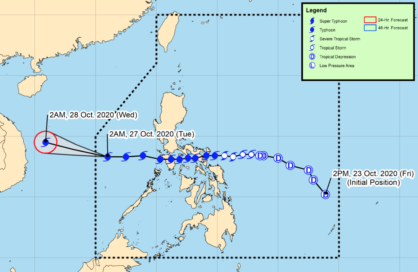
At 10 a.m. on Tuesday, the eye of Typhoon Quinta was located based on all available data at 775 km west of Calapan City, Oriental Mindoro or 255 km North of Pagasa Island, Palawan, outside PAR.
It is moving westward at 20 kph with maximum sustained winds of 150 kph near the center and gustiness of up to 185 kph. —Jamil Santos/KBK, GMA News
