

Neneng now a typhoon; Signal no. 3 still up over western part of Babuyan Islands
Tropical Cyclone Wind Signal (TCWS) No. 3 is still in effect over the western portion of Babuyan Islands on Sunday as Neneng (international name: Nesat) rapidly intensified into a typhoon, PAGASA said.
In its 2 p.m. severe weather bulletin, PAGASA said TCWS No. 3 is still raised over the western portion of Babuyan Islands (Panuitan Island, Calayan Island, and Dalupiri Island).
These areas are experiencing storm-force winds or may expect such weather condition within 18 hours. Winds may also lead to moderate to significant threat to life and property.
Meanwhile, under TCWS No. 2 were the following:
- Batanes;
- the northwestern portion of Cagayan (Santa Praxedes, Claveria, Sanchez-Mira, Pamplona, Abulug, Ballesteros);
- the northwestern portion of Apayao (Calanasan, Luna, Santa Marcela); and
- Ilocos Norte.
Areas under TCWS No. 2 are experiencing gale-force winds or may expect such condition in the next 24 hours. Winds may also lead to minor to moderate threat to life and property.
On the other hand, the following areas were under TCWS No. 1:
- Kalinga;
- Abra;
- the northern and central portions of Ilocos Sur (Gregorio del Pilar, Magsingal, San Esteban, Banayoyo, Burgos, City of Candon, Santa Lucia, Santiago, San Vicente, Santa Catalina, Lidlidda, Nagbukel, Sinait, San Ildefonso, Galimuyod, City of Vigan, San Emilio, Cabugao, Caoayan, San Juan, Santa, Bantay, Santo Domingo, Santa Maria, Narvacan, Salcedo, Santa Cruz); and
- the rest of Apayao, and the rest of Cagayan.
These areas have strong winds prevailing or expected within 36 hours. Winds may also result in minimal to minor threat to life and property.
PAGASA said Neneng has undergone extreme rapid intensification and reached typhoon category at 11 a.m. on Sunday.
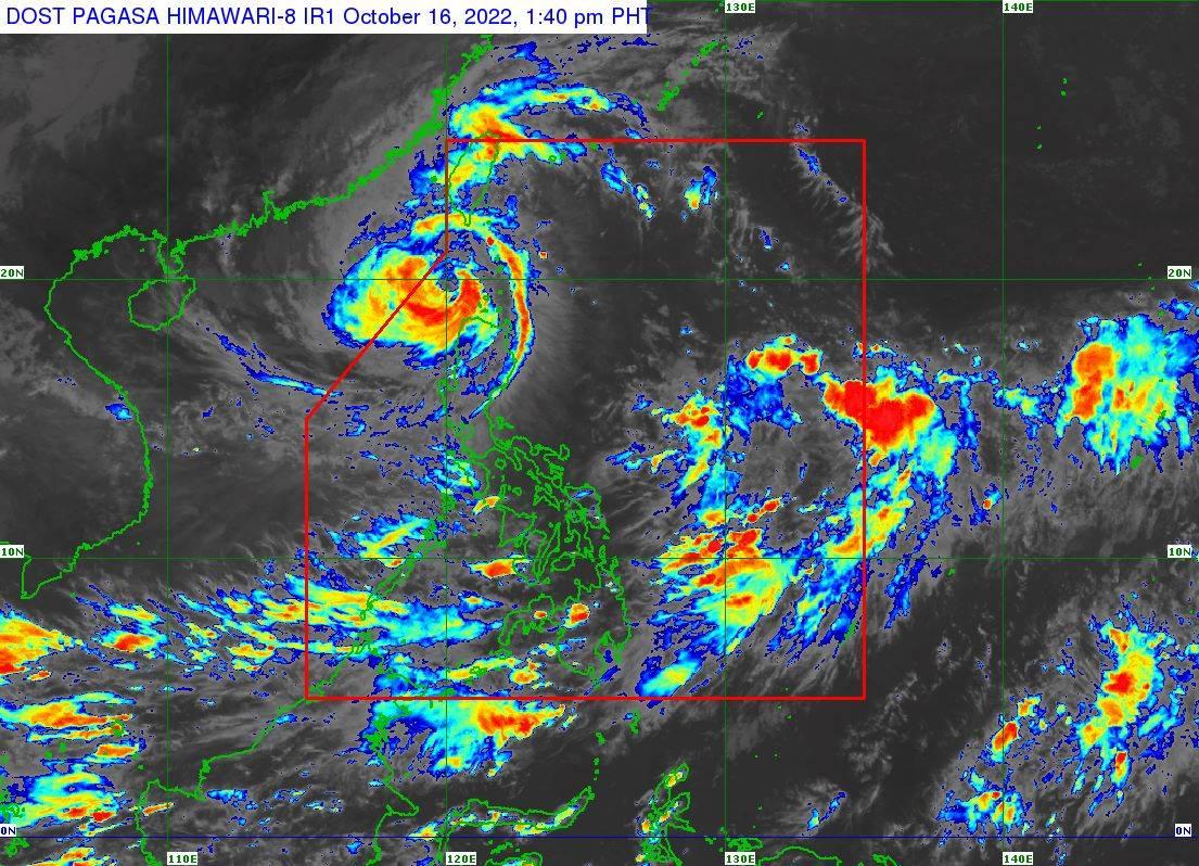
As of 1 p.m., Neneng was located 145 km west of Calayan, Cagayan, with maximum sustained winds of 120 km/h near the center, gustiness of up to 150 km/h, and central pressure of 975 hPa. It is moving westwards at 20 km/h.
It also has strong to typhoon-force winds extending outwards up to 550 km from the center.
Heavy rainfall
Moderate to heavy rains may prevail over Batanes, Babuyan Islands, Apayao, Abra, Benguet, Ilocos Norte, and Ilocos Sur on Sunday.
Light to moderate with at times heavy rains may be expected over the rest of Ilocos Region and Cordillera Administrative Region.
PAGASA said scattered to widespread flooding and rain-induced landslides may result in areas prone to these hazards.
Severe winds
During the passage of Neneng, PAGASA said winds may reach storm-force strength in the western portion of Babuyan Islands, and winds of up to gale-force strength may prevail within any of the areas where TCWS No. 2 was hoisted.
Moreover, strong winds (strong breeze to near gale strength) will be experienced within any of the areas where TCWS No. 1 is currently in effect.
The induced southwesterly winds may also bring occasional gusts reaching strong breeze to near gale strength on Sunday over most of Southern Luzon and Visayas and the eastern portions of Central Luzon, especially in coastal and mountainous/upland localities of these areas, PAGASA added.
Coastal waters
According to PAGASA, a marine gale warning remains in effect over the seaboards of Northern Luzon due to the influence of the surge of northeasterly surface wind flow.
The surge and the approaching tropical cyclone may also bring moderate to rough seas (2.0 to 3.5 m) over the eastern and western seaboards of Central Luzon and the eastern seaboard of Southern Luzon.
PAGASA said such conditions may be risky for those using small seacraft.
Mariners were advised to take precautionary measures when venturing out to sea and, if possible, avoid navigating in these conditions, it said.
Track, intensity outlook
PAGASA’s projections said Neneng will continue to move westward or west northwestward over the West Philippine Sea until Monday early morning, then turn and move generally west southwestward or southwestward for the remainder of Monday through Wednesday morning.
On the forecast track, the typhoon may exit the Philippine Area of Responsibility (PAR) late Sunday afternoon or evening.
Further intensification is likely as this tropical cyclone moves over the West Philippine Sea, PAGASA said.
Effects
Some parts of Cagayan were flooded and had their power cut off as Neneng brought heavy rains on Sunday.
President Ferdinand "Bongbong" Marcos Jr. on Sunday said the government is “watching closely” the effects of Neneng, particularly in the northern part of Luzon.
“Government assets are in place to deal with the aftermath and ensure the primary needs of those affected, especially food, safe drinking water, and electricity,” the President wrote on Twitter.
Meanwhile, some domestic flights scheduled on Sunday were canceled due to the bad weather caused by Neneng. —KG, GMA News
