

Signal No. 1 still up over NCR, other parts of Luzon as Paeng keeps strength
Storm Signal No. 1 remains in effect over several areas in Luzon, including Metro Manila, as Tropical Storm Paeng moves west-southwest while maintaining its strength, PAGASA said Sunday afternoon.
According to the bureau's 5 p.m. severe weather bulletin, Signal No. 1 is still hoisted over:
- Cagayan including Babuyan Islands
- Isabela
- Quirino
- Nueva Vizcaya
- Apayao
- Abra
- Kalinga
- Mountain Province
- Ifugao, Benguet
- Ilocos Norte
- Ilocos Sur
- La Union
- Pangasinan
- Aurora
- Bulacan
- Nueva Ecija
- Tarlac
- Pampanga
- Bataan
- Zambales
- Metro Manila
- the western and central portions of Batangas (San Nicolas, Calaca, Cuenca, Lian, Tuy, Balayan, Talisay, Agoncillo, San Pascual, Santo Tomas, Bauan, San Jose, Calatagan, San Luis, Lemery, Lipa City, Ibaan, City of Tanauan, Mabini, Mataasnakahoy, Alitagtag, Balete, Tingloy, Nasugbu, Batangas City, Laurel, Santa Teresita, Taal, Malvar)
- Cavite
- Laguna
- Rizal
- the northwestern portion of Oriental Mindoro (San Teodoro, Puerto Galera, Baco)
- the northwestern portion of Occidental Mindoro (Abra de Ilog, Mamburao, Paluan, Santa Cruz) including Lubang Islands, and the northern portion of Quezon (General Nakar, Infanta)
These areas have strong winds prevailing or expected within 36 hours. Winds may also result in minimal to minor threat to life and property, PAGSA said.
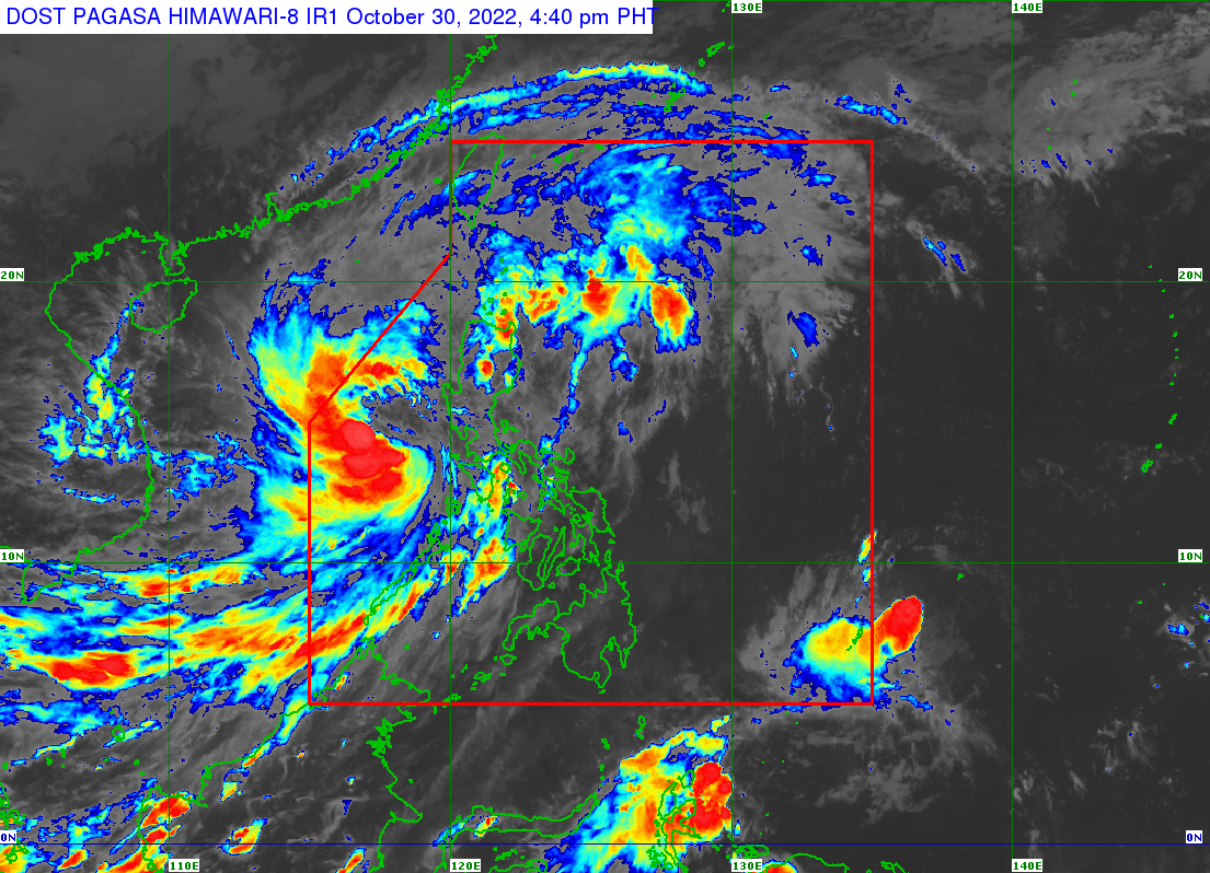
As of 4 p.m., Paeng was located 295 km West of Iba, Zambales, with maximum sustained winds of 85 km/h near the center and gustiness of up to 105 km/h. It is moving west southwestward at 20 km/h.
It also had strong to gale-force winds extending outwards up to 650 km from the center.
According to PAGASA’s projection, Paeng may track north northwestward or northwestward beginning Sunday evening or Monday early morning.
By Wednesday, Paeng will begin to turn west northwestward towards southern China.
Paeng is expected to exit the Philippine Area of Responsibility (PAR) on Monday morning or afternoon, PAGASA said.
Moreover, Paeng is forecast to re-intensify into a severe tropical storm Sunday evening or Monday early morning.
By Monday evening or Tuesday morning, Paeng may reach typhoon category, PAGASA said.
However, a weakening trend is expected by late Tuesday as the tropical cyclone encounters another surge of the Northeast Monsoon, it added.
Rainfall, coastal waters
PAGASA said moderate to heavy rains are possible over Zambales, Bataan, Aurora, Pangasinan, Batanes, and the northern portion of Cagayan including Babuyan Islands on Sunday until Monday morning.
Metro Manila, Cordillera Administrative Region, Calabarzon, Mimaropa, Western Visayas, and the rest of Cagayan Valley and Central Luzon may have light to moderate with at times heavy rains.
Flooding and rain-induced landslides may slowly subside except in areas with significant antecedent rainfall or those still having heavy rainfall.
Meanwhile, a marine gale warning remains in effect over the seaboards of Northern and Central Luzon; the western and southern seaboards of Southern Luzon; and the eastern seaboard of Visayas under the influence of the surge of the Northeast Monsoon and Paeng. — BM, GMA News
