

Trough of LPA to bring scattered rains over parts of the country
The trough of the Low Pressure Area (LPA) forecasted to bring cloudy skies, scattered rain showers over parts of the country on Friday, PAGASA reported.
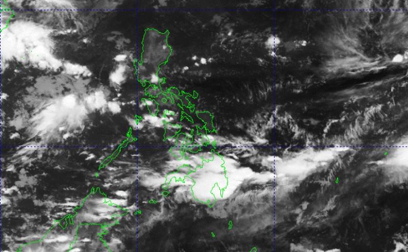
The LPA, as of 3 a.m., was estimated at 305 kilometers west of Puerto Princesa City, Palawan.
Occidental Mindoro and the northern portion of Palawan will have cloudy skies with scattered rain showers and thunderstorms due to the trough of the LPA. Flash floods or landslides may occur in these areas due to moderate to at times heavy rains.
The Northeasterly Surface Windflow, meanwhile, will bring partly cloudy to cloudy skies with light rains over Batanes, Cagayan, Isabela, Apayao, and Abra with no significant impact.
Metro Manila and the rest of the country will have partly cloudy to cloudy skies with isolated rain showers or thunderstorms due to the trough of the LPA and localized thunderstorms. Flash floods or landslides may occur during severe thunderstorms.
The weather bureau is also monitoring an active tropical cyclone outside the Philippine Area of Responsibility (PAR).
As of 3 a.m., Super Typhoon Bolaven is located 2,455 kilometers east northeast of extreme Northern Luzon packing maximum sustained winds of 205 kilometers per hour, gustiness up to 250 km/h, and moving northeastward at the speed of 25 km/h.
The wind speed forecast for Northern Luzon is moderate to strong moving northeastward with moderate to rough coastal waters.
Mindanao and Palawan will experience light to moderate wind speed moving in the southwest to west direction with slight to moderate coastal waters.
Visayas and the rest of Luzon will have light to moderate wind speed moving in the northeast to northwest direction with slight to moderate coastal waters.
Sunrise will be at 5:47 a.m., sunset at 5:38 p.m. — BAP, GMA Integrated News
