

TD Bising slightly intensifies, 3 areas under Signal No. 1
Three areas are now under Tropical Cyclone Wind Signal (TCWS) No. 1 as Tropical Depression (TD) Bising slightly intensified over the west of extreme Northern Luzon, PAGASA said Friday.
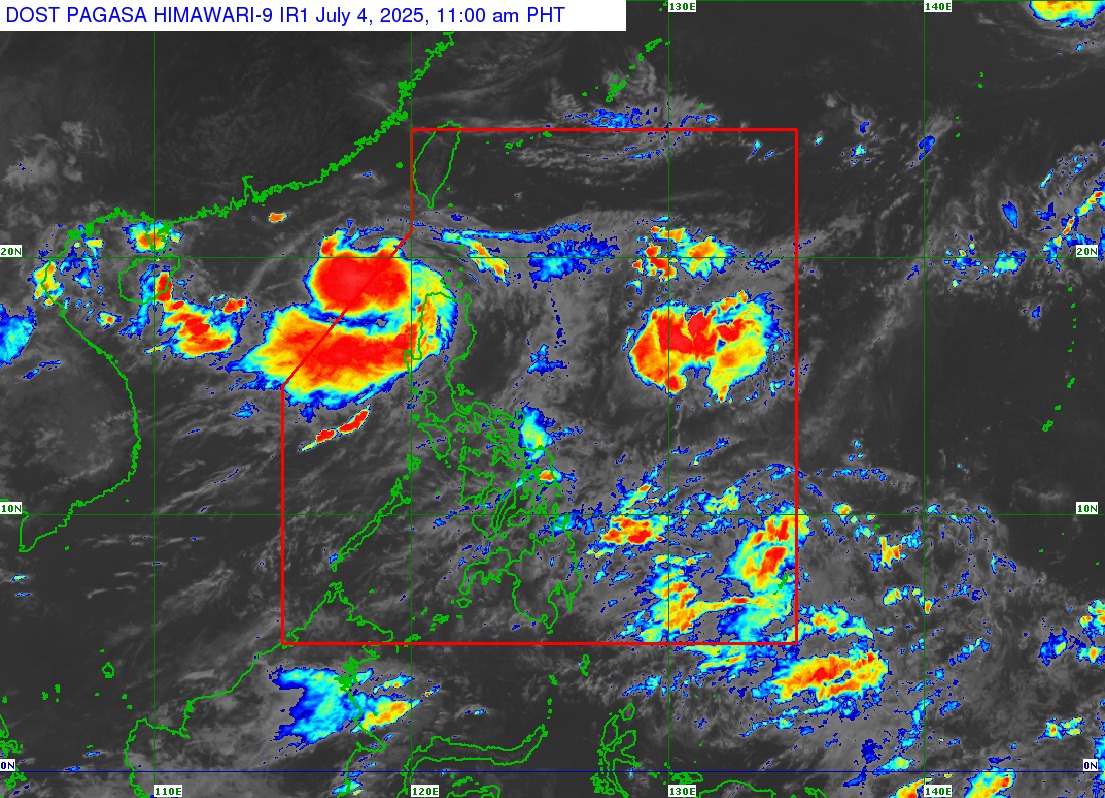
In its 11 a.m. tropical cyclone bulletin, PAGASA said the center of TD Bising was seen moving 15 kph west southwestward at 280 kilometers west northwest of Calayan, Catagan with maximum sustained winds of 55 kph, gustiness of up to 70 kph, and a central pressure of 1,000 hPa.
The following areas have been placed under Signal 1:
- The western portion of Babuyan Islands (Calayan Isl. and Dalupiri Isl.)
- The western portion of Ilocos Norte (Pagudpud, Bangui, Burgos, Pasuquin, Dumalneg, Bacarra, Laoag City, Paoay, Currimao, Badoc, Pinili)
- The northwestern portion of Ilocos Sur (Caoayan, City of Vigan, Santa Catalina, San Vicente, Santo Domingo, Magsingal, San Juan, Cabugao, Sinait, San Ildefonso)
PAGASA said that areas under Signal No. 1 may experience strong winds with a speed of 39 to 61 kph within the next 36 hours, with minimal to minor threat to life and property.
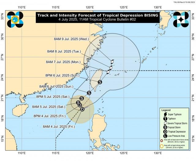
Bising is expected to exit the Philippine Area of Responsibility (PAR) by Friday afternoon, with possible re-entry on Sunday morning and re-exit on Monday.
The TD may also develop into a tropical storm by Saturday and further intensify as it moves over Taiwan, raising the possibility of raising TWCS No. 2 over Batanes and Babuyan Islands.
Heavy Rainfall, Wind
PAGASA’s heavy rainfall outlook also reported possible rains in several areas due to the effects of TD Bising and the Southwest Monsoon.
Friday to Saturday noon
- 100-200 mm: Ilocos Norte
- 50-100 mm: Batanes, Cagayan, Apayao, Ilocos Sur, La Union, Pangasinan, Abra, Benguet, Zambales, and Bataan
Saturday noon to Sunday noon
- 50-100 mm: Batanes, Cagayan, Apayao, Ilocos Norte, Ilocos Sur, La Union, and Pangasinan
Sunday noon to Monday noon
- 50-100 mm: Batanes and Ilocos Norte
“Forecast rainfall may be higher in mountainous and elevated areas. Moreover, impacts in some areas may be worsened by significant antecedent rainfall,” the advisory read.
Rough seas may be expected over the following coastal waters within 24 hours:
- Up to 3m: The western seaboards of Babuyan Islands and Ilocos Norte
The following coastal waters may also observe up to moderate seas:
- Up to 2.5m: The northwestern seaboard of Ilocos Sur
- Up to 2.0m: The seaboard of Batanes, the western seaboards of La Union and Pangasinan, the remaining seaboard of Ilocos Sur.
PAGASA advised the affected public and disaster risk reduction and management offices to enforce needed precautionary measures to protect life and property. —VAL, GMA Integrated News
