

Tropical Storm Nakri slightly accelerates while moving north
Tropical Storm Nakri has slightly accelerated while moving northwestward, the state weather bureau PAGASA said late Wednesday evening.
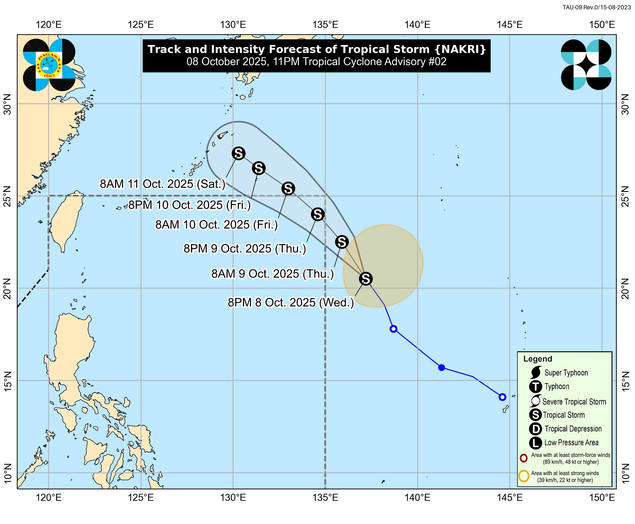
As of 10 p.m., the center of the tropical storm was still outside of PAR, or 1,565 kilometers east of extreme northern Luzon. It has maximum sustained winds of 65 km/h near the center and gustiness of up to 80 km/h.
It was moving northwestward at 30 km/h, up from 25 km/h at 4 p.m.
PAGASA said Nakri may enter the Philippine Area of Responsibility (PAR) either on Thursday morning or evening. It will be given the local name “Quedan.”
The tropical storm is less likely to directly affect the weather and sea conditions in the country throughout the forecast period, the state weather bureau said. It added that no tropical cyclone wind signal would be raised.
Nakri is expected to exit PAR in the early morning of Friday, October 10.
"This weather disturbance is forecast to continue intensifying as it approaches the Ryukyu Islands (Japan)," PAGASA said. —Vince Angelo Ferreras/VBL, GMA Integrated News
