

PAGASA: LPA outside PAR now has 'medium' chance to become tropical depression
A low pressure area east of Southern Mindanao but still outside of the Philippine area of responsibility now has a medium possibility of becoming a tropical depression, the state weather bureau said on Tuesday morning.
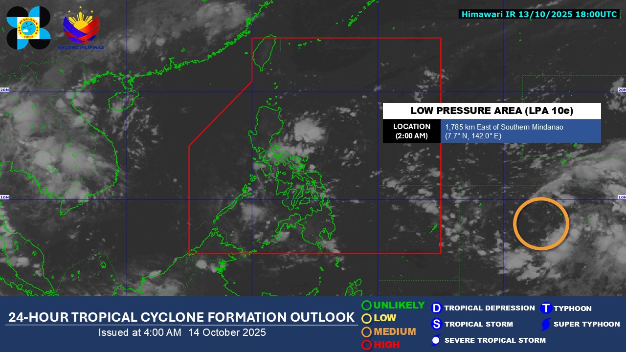
In its 4 a.m. tropical cyclone formation outlook on Oct. 14, the Philippine Atmospheric, Geophysical, and Astronomical Services Administration said the low pressure area has inched closer to the country.
As of 2 a.m. Tuesday, it was spotted 1,785 kilometers east of Southern Mindanao.
The state weather bureau said it is monitoring the low pressure area, which has a “medium chance to develop into a tropical depression within the next 24 hours.”
According to a "24 Oras" report on Monday night, the low pressure area may become a tropical depression by Wednesday and enter the Philippine area of responsibility as "Ramil" before the weekend.
So far, easterlies will continue to persist in several parts of the country, bringing cloudy skies, scattered rains, and thunderstorms. — JMA, GMA Integrated News
