

LPA inside PAR still has ‘low’ chance of becoming storm — PAGASA
The low pressure area (LPA) inside the Philippine Area of Responsibility still has a “low” chance of developing into a tropical depression within the next 24 hours, PAGASA said Monday afternoon.
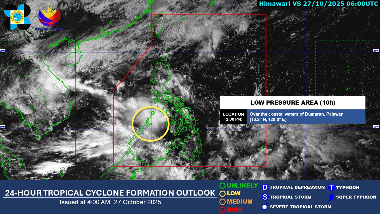
At 3 p.m., the LPA was spotted in the vicinity of Dumaran, Palawan.
It is embedded along the Intertropical Convergence Zone (ITCZ) affecting the western sections of Southern Luzon, Visayas, and Mindanao, the state weather bureau said in its 4 p.m. weather forecast.
Palawan, Occidental Mindoro, and Oriental Mindoro will experience cloudy skies with scattered rains and thunderstorms due to the LPA.
The same weather conditions will persist over Cagayan, Isabela, and Aurora due to the shear line.
Cloudy skies with rain are expected over Batanes due to the Northeast Monsoon.
Meanwhile, the ITCZ will bring partly cloudy to cloudy skies with isolated rain showers and thunderstorms over Western Visayas, Negros Island Region, Zamboanga Peninsula, and BARMM.
The same weather conditions will persist in Metro Manila and the rest of the country due to the easterlies.
PAGASA warned that these weather conditions may trigger flash floods and landslides.
State meteorologists also said extreme Northern Luzon will experience moderate to strong wind conditions and moderate to rough coastal water conditions.
Winds will be light to moderate, while coastal waters will be slight to moderate throughout the rest of the country.
Sunrise in Metro Manila will be at 5:50 a.m. on Tuesday.—Mariel Celine Serquiña/AOL, GMA Integrated News
