

Uwan remains inside PAR; ITCZ to bring rains over Mindanao, Eastern Visayas
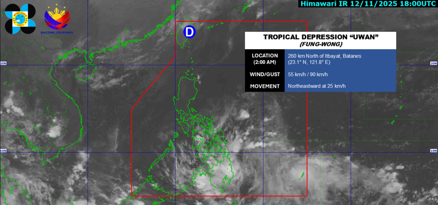
Tropical Depression Uwan remains inside the Philippine Area of Responsibility (PAR) and continues to move in the northeast direction while the Intertropical Convergence Zone (ITCZ) will bring cloudy skies with scattered rains over Mindanao and Eastern Visayas, according to PAGASA.
As of 3 a.m. on Thursday, Uwan was estimated at 280 kilometers north of Itbayat, Batanes with maximum sustained winds of 55 kilometers per hour near the center, gustiness of up to 70 km/h and moving northeastward at 25 km/h.
The ITCZ, meanwhile, flash floods and landslides may occur in some parts of Mindanao and Eastern Visayas due to moderate to at times heavy rains.
Metro Manila and the rest of the country will have partly cloudy to cloudy skies with isolated rain showers or thunderstorms due to localized thunderstorms with flash floods or landslides possibly occurring during severe thunderstorms.
Extreme Northern Luzon will experience moderate to strong wind speed moving in the northwest to southwest direction while coastal waters will be moderate to rough.
The rest of Luzon will experience light to moderate wind speed moving in the southeast to northeast direction with slight to moderate coastal waters.
The rest of the country will experience light to moderate wind speed moving in the east to northeast direction while coastal waters will be slight to moderate.
Sunrise will be at 5:56 a.m., sunset at 5:25 p.m. — BAP, GMA Integrated News
