

ADVERTISEMENT
Filtered By: Topstories
News
Storm Signal No. 2 hoisted over 11 PHL provinces as TS Gorio heads to Bicol
+
Make this your preferred source to get more updates from this publisher on Google.
PAGASA weather forecasters placed eleven provinces and three islands under Public Storm Warning Signal No. 2 as Tropical Storm Gorio approached Eastern Visayas and Bicol late Friday evening with top near-center winds of 65 kilometers per hour and gusts of up to 80 kph.
The areas under Signal No. 2 are:
- Catanduanes
- Albay
- Sorsogon
- Masbate including Burias Island and Ticao Island
- Samar
- Eastern Samar
- Northern samar
- Leyte
- Southern Leyte
- Biliran Island
- Dinagat province and Siargao Island
PAGASA said residents of these areas can expect storm weather conditions and impact such as:
- Moderate damage to agriculture
- Rice and corn adversely affected
- Few large trees uprooted
- Large number of nipa and cogon houses partially or totally unroofed
- Some old galvanized iron roofing may roll off
- Travel by all types of sea vessels is risky
- Travel by all types of aircrafts is risky
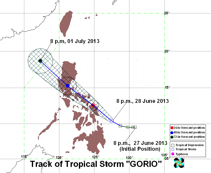
PAGASA forecast in its 11:00 p.m. storm bulletin that TS Gorio will move west-northwest at a pace 15 kilometers per hour with top near-center winds of up to 80 kph. By Saturday evening Gorio may be in the Vicinity of Catarman, Northern Samar. The storm is forecast Sunday evening to be at or ner Cabanatuan City and then by Monday evening, the forecast position is 390 km Northwest of Dagupan City.
PAGASA also placed other provinces under Storm Signal No. 1:
- Quezon
- Polillo Island,
- Camarines Norte
- Camarines Sur
- Marinduque
- Romblon
- Aklan
- Capiz
- Northeastern Iloilo
These areas are expected to experience these effects consistent with Storm Signal No. 1 storm conditions:
- Twigs and branches of trees may be broken
- Some banana plants may tilt or land flat on the ground
- Rice in flowering stage may suffer significant damage
- Some nipa and cogon houses may be partially unroofed
- Sea travel of small seacrafts and fishing boats is risky
"Estimated rainfall amount is from 5 – 15 mm per hour (moderate - heavy) within the 300 km diameter of the Tropical Storm," PAGASA said in its 11:00 p.m. storm bulletin.
"Residents in low lying and mountainous areas under signals #2 & #1 are alerted against possible flashfloods and landslides. Likewise, those living in coastal areas are alerted against big waves or storm surges generated by this tropical cyclone," PAGASA also said.
"Residents in low lying and mountainous areas under signals #2 & #1 are alerted against possible flashfloods and landslides. Likewise, those living in coastal areas are alerted against big waves or storm surges generated by this tropical cyclone," PAGASA also said.
Tropical Storm Gorio is expected to be in the vicinity of Catarman, Northern Samar by tomorrow evening.
PAGASA forecast Gorio to cut a northwesterly path across Luzon and "by Sunday evening, it will be in the vicinity of Cabanatuan City and at 390 km Northwest of Dagupan City by Monday evening." — ELR, GMA News
