

PCG: National Maritime Council, NTF-WPS to decide on Bajo de Masinloc structures
The Philippine Coast Guard (PCG) on Thursday said the National Maritime Council and the National Task Force for the West Philippine Sea (NTF-WPS) will be the one to decide if the underwater structures recently spotted in Bajo de Masinloc will be removed.
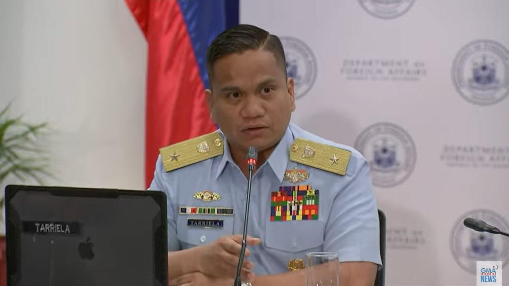
“As to the question kung tatanggalin ito, I think that will still be decided by the National Maritime Council and even the NTF-WPS,” PCG spokesperson for WPS Commodore Jay Tarriela said in an ambush interview.
(As to the question of whether it will be removed, I think that will still be decided by the National Maritime Council and even the NTF-WPS.)
Based on satellite images, Tarriela said the structure has been there as early as 2010 and that the structure might be debris from a planned structure in the area.
“We are now retrieving images way back earlier that this structure has been there already. So this is not something new. This might just be a debris of the plan to construct a structure there,” he said.
“I think the structure is more than enough telling na malaman natin. It goes early as 2010 satellite image na nandoon na siya. Even before the standoff, that structure has been there already,” he added.
(I think the structure is more than enough telling for us to know. It goes early as 2010, with satellite images showing that it's already there. Even before the standoff, that structure has been there already.)
On Tuesday, Philippine Navy spokesperson for the WPS Rear Admiral Roy Vincent Trinidad said the military has received reports of underwater structures in Bajo de Masinloc.
He said the Philippine Navy is still checking if these are new installations.
This is considering that in 1997, China supposedly attempted to build a steel structure in Bajo de Masinloc but this was blown up by Filipino forces.
Before this, Trinidad said there were earlier reports about supposed structures in the area.
“Prior to that, there were also reports of building blocks that were reported in Bajo de Masinloc,” the Philippine Navy spokesperson for the WPS added.
“Upon further checking, these were blocks that were installed previous to the all the escalation in Bajo de Masinloc, during the time of the presence of US bases when Bajo de Masinloc was still used as a bombing range by the US Air Force, the US Navy, and I believe by the Philippine Air Force,” he added.
Meanwhile, Tarriela refused to answer when asked if Philippine forces will also remove the two buoys that were spotted installed around Bajo de Masinloc recently.
“Those are operational details,” Tarriela said.
On September 10, China announced the creation of a national nature reserve in Bajo de Masinloc.
The Philippines’ Department of Foreign Affairs (DFA) on September 13 said it formally filed a diplomatic protest against China over its planned national nature reserve.
Australia, Canada, and Japan also rejected China’s planned nature reserve in Bajo de Masinloc.
The disputed Bajo de Masinloc – also known as Panatag Shoal or Scarborough Shoal – is located 124 nautical miles off Masinloc, Zambales and is considered within the Philippines’ 200-nautical-mile exclusive economic zone (EEZ).
Tensions continue as Beijing claims almost all of the South China Sea, a conduit for more than $3 trillion of annual shipborne commerce, including parts claimed by the Philippines, Vietnam, Indonesia, Malaysia, and Brunei.
Parts of the South China Sea that fall within Philippine territory have been renamed by the government as the West Philippine Sea to reinforce the country’s claim.
The West Philippine Sea refers to the maritime areas on the western side of the Philippine archipelago including Luzon Sea and the waters around, within, and adjacent to the Kalayaan Island Group and Bajo de Masinloc.
In 2016, the Permanent Court of Arbitration in the Hague ruled in favor of the Philippines over China's claims in the South China Sea and said Beijing’s claims had “no legal basis.”
China has refused to recognize the decision. — JMA, GMA Integrated News
