

TD Wilma makes landfall in Eastern Samar—PAGASA
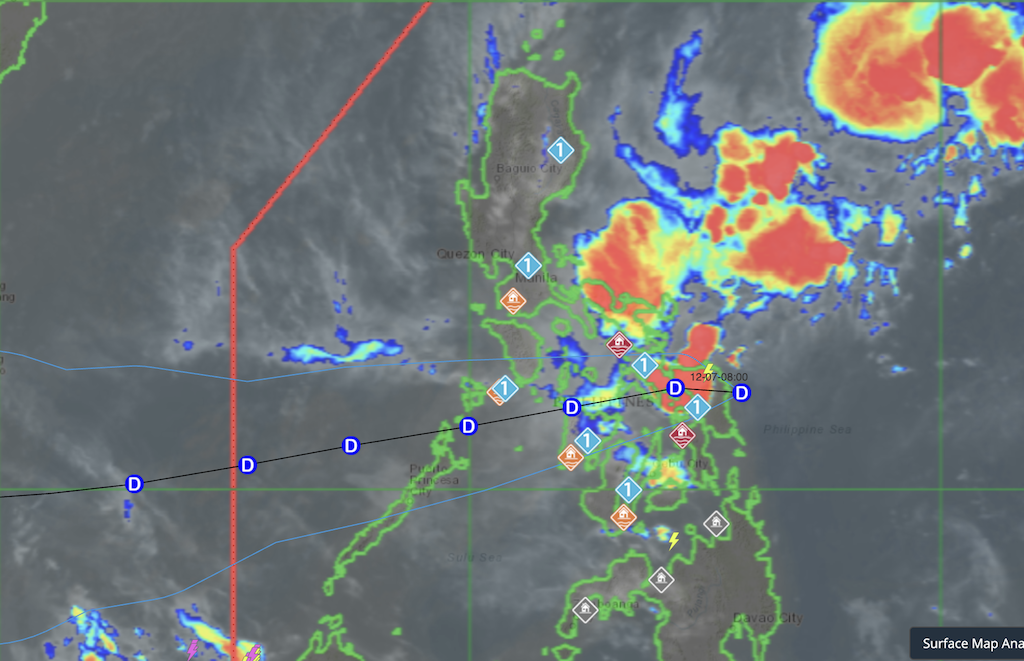
Tropical Depression Wilma made landfall late Saturday night over Hilabaan Island in Dolores, Eastern Samar, prompting continued wind alerts across parts of Luzon and the Visayas.
PAGASA said the cyclone’s center crossed the island at 10:50 p.m., bringing rains and strong winds to Eastern Samar and nearby provinces.
Wilma maintained maximum sustained winds of 45 kph and gustiness of up to 55 kph as it moved inland.
In its 11 p.m. advisory, PAGASA said 19 areas remain under Signal No. 1, with winds of 39 to 61 kph expected in the next 36 hours. These include:
- Sorsogon
- Masbate, including Ticao and Burias Islands
- Romblon
- Southern portions of Oriental and Occidental Mindoro
- Northernmost Palawan, including Cuyo, Calamian and Cagayancillo Islands
- Northern Samar, Eastern Samar, Samar
- Biliran
- Northern and central Leyte, including Tacloban City and Ormoc City
- Northern and central Cebu, including Bantayan and Camotes Islands
- Northern Negros Oriental
- Northern and central Negros Occidental
- Guimaras, Iloilo, Capiz, Aklan
- Antique, including Caluya Islands
PAGASA said winds may be stronger in coastal and upland communities directly exposed to the cyclone’s circulation, while sheltered areas may experience weaker gusts.
The public was also warned that strong to gale-force gusts could still be felt in some areas not under any wind signal due to the Northeast Monsoon. Heavy rainfall and severe winds may likewise occur outside Wilma’s landfall point and forecast cone.
Wilma is expected to remain a tropical depression as it tracks across Eastern Visayas, though weakening into a remnant low remains possible.—Jiselle Anne Casucian/MCG, GMA Integrated News
