

TD Wilma crosses Eastern Samar
Tropical Depression Wilma made landfall twice in Eastern Samar late Saturday and is now moving inland over the province, bringing strong winds, heavy rains and dangerous sea conditions across large parts of the country, according to the state weather bureau.
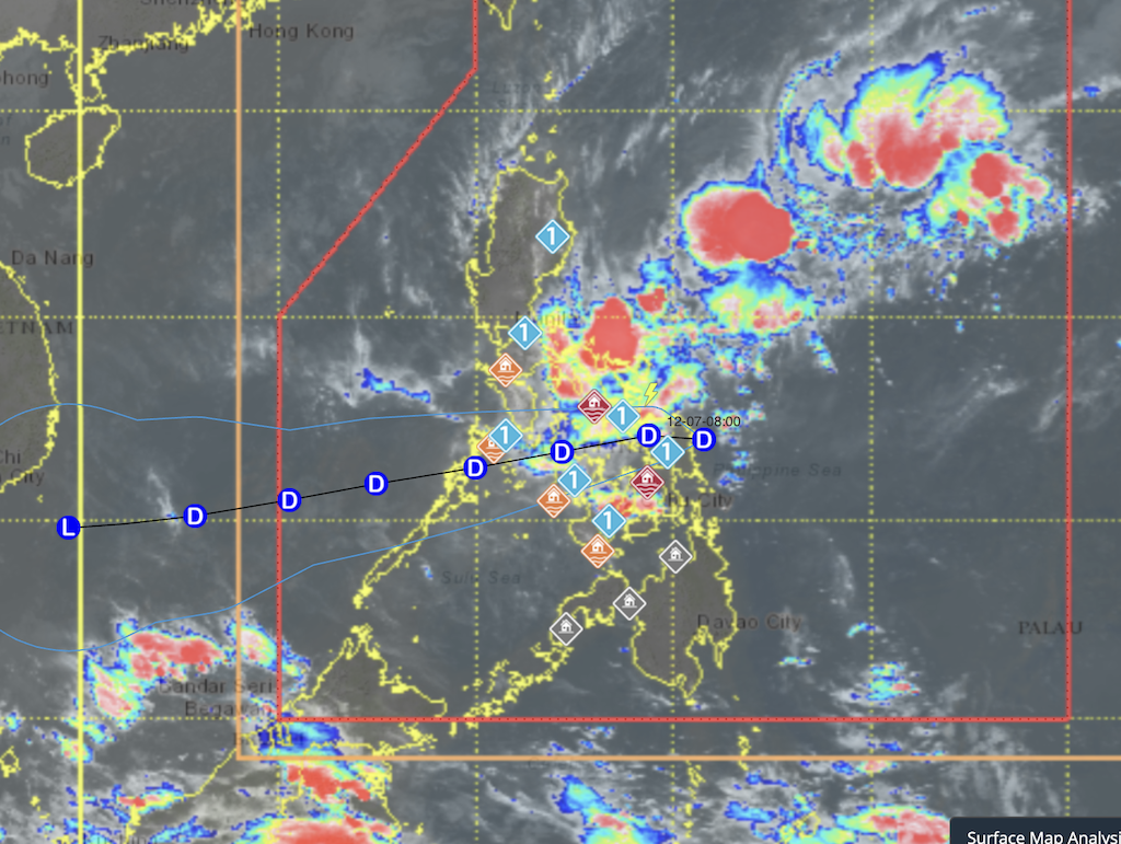
PAGASA said Wilma first made landfall in Dolores at 10:50 p.m. before hitting Oras at 11:10 p.m. The weather disturbance was located over Oras, Eastern Samar, as of late evening.
Wilma is expected to continue tracking westward, crossing the Visayas today before emerging over the Sulu Sea. The cyclone may pass over northern Palawan by Monday morning.
TD Wilma is forecast to remain a tropical depression during its traverse, though forecasters warned that the surge of the northeast monsoon could weaken it into a low-pressure area earlier than expected.
Tropical Cyclone Wind Signal No. 1 remains hoisted over areas affected by Wilma, with PAGASA warning of minimal to minor impacts from strong winds. The bureau also noted that winds may become slightly stronger in coastal and upland areas directly exposed to the prevailing wind direction.
Even areas outside the storm’s direct path are experiencing strong to gale-force gusts due to the northeast monsoon, according to PAGASA, which is affecting most of Luzon, Visayas, and the Zamboanga Peninsula. They will continue over most of Luzon on Sunday and Monday.
The weather bureau reiterated that hazards such as heavy rainfall and strong winds may be felt well outside the cyclone’s landfall areas, due to its combined effects with the shear line affecting the eastern sections of the country.—MCG, GMA Integrated News
