

NAMRIA releases Philippine map showing West PH Sea
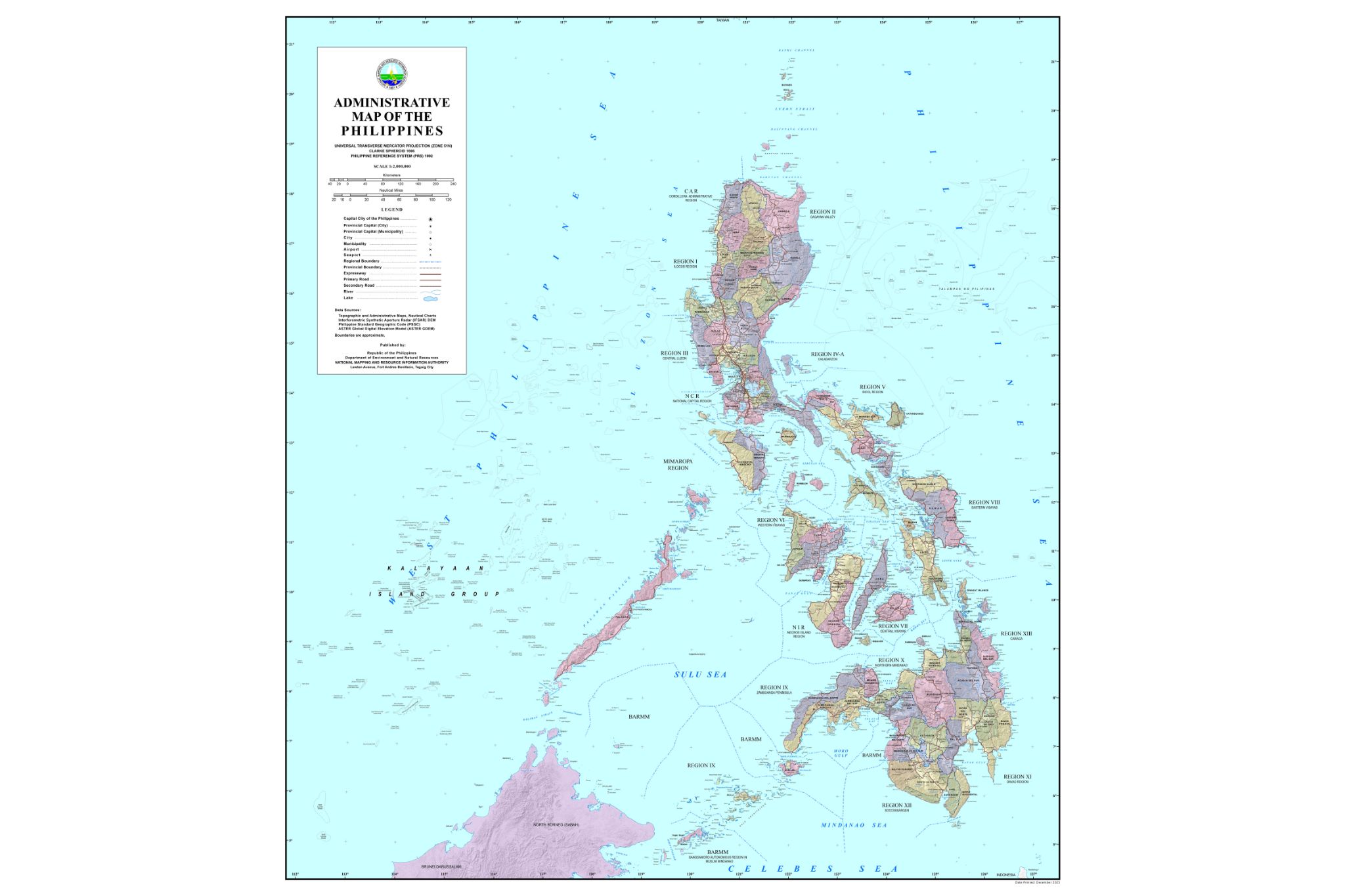
The National Mapping and Resource Information Authority (NAMRIA) on Wednesday released the official administrative map of the Philippines showing the West Philippine Sea (WPS).
In a statement, the agency stressed the role of official Philippine maps and nautical charts in asserting and protecting the country’s maritime jurisdiction in the WPS.
“Since 2012, the Philippines has formally used the name WPS in government publications. In accordance with this policy, NAMRIA places the label consistently across its official maps and charts, including administrative maps, topographic maps, thematic maps, and nautical charts used for navigation,” it said.
“These materials serve practical and technical purposes. They are reference documents used by mariners, planners, researchers, and institutions, both domestic and international, for navigation, geographic information, and safety at sea,” it added.
NAMRIA made the statement after Senator Rodante Marcoleta said that NAMRIA has yet to submit an updated Philippine map to the Office of the UN Secretary General as a formal notice of the maritime claims.
This is allegedly despite the administrative order of then President Benigno Aquino III in 2012, according to the senator.
Regarding maritime boundaries, NAMRIA said that the country’s exclusive economic zone (EEZ) extends up to 200 nautical miles from the archipelagic baselines.
This created a continuous curved boundary rather than a polygon with straight lines, NAMRIA pointed out.
NAMRIA said the EEZ is represented using precise geospatial data derived from the baselines defined under Republic Act 9522, enabling navigation systems and mapping software to determine maritime limits accurately.
The agency said its nautical charts follow international hydrographic standards and are used by both Philippine and foreign vessels operating in Philippine waters.
These charts are submitted to international technical bodies, including the International Hydrographic Organization, integrating Philippine geographic data into the global maritime record and supporting safe navigation and responsible maritime activities.
“NAMRIA’s mandate is to produce accurate and reliable geospatial information for the country. By maintaining scientifically correct maps and internationally compliant nautical charts, the agency contributes to maritime safety, environmental management, disaster preparedness, and proper documentation of national territory,” it said.
“NAMRIA will continue to uphold this mandate in support of national sovereignty, maritime safety, disaster preparedness, and sound resource management,” it added. —VAL, GMA Integrated News
