

DENR to pilot marine spatial planning for mangrove conservation
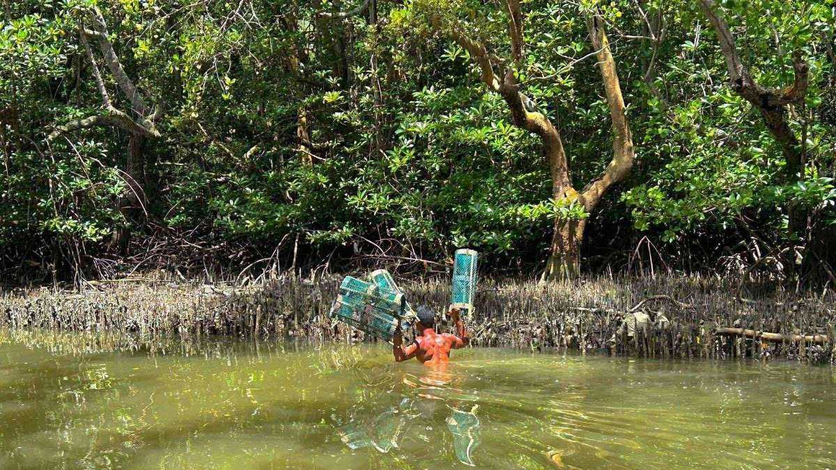
The Department of Natural Resources-Biodiversity Management Bureau (DENR-BMB) will soon launch marine spatial planning as part of the government’s efforts to conserve mangroves in the country.
“We are looking at starting with three pilot sites. At least one of those three pilot site ay may mangrove na masasakupan doon,” said DENR-BMB assistant director Mariglo Laririt in a press conference during the Philippine Mangrove Conference on Tuesday.
(We are looking at starting with three pilot sites. At least one of those three pilot sites will cover an area with mangroves.)
The DENR-EMB said the three possible pilot sites are in loilo, the Masinloc-Oyon Bay, and the Verde Island Passage.
Marine spatial planning is a framework used to manage how and when people use marine resources, according to UNESCO. It aims to balance environmental health with economic and social needs, all guided by specific policy decisions.
“Ito kasi yung marine spatial planning, kailangan yung mga base maps mo... Kung hindi maayos yung mapa mo na sinisimulan, kahit anong latag mo diyan, Hindi maganda yung magiging resulta we're trying to hit accuracy,” Laririt told reporters.
(This is how marine spatial planning works. You need your base maps to be, of course, high-quality. Right? If the map you’re starting with isn't accurate, no matter what plans you lay out there, the results won't be good. We’re trying to hit accuracy.)
Laririt also explained that spatial planning includes identifying political boundaries of areas as well as boundaries of municipal waters.
The DENR-BMB is targeting to launch the pilot of marine spatial planning this year.
“For us to be able to do that, we have to count on foreign assisted projects…And then, kapag meron ng proof of concept, na naipakita na namin maganda pala ito. So, maybe we can then build it to the budget of the agency para ma-pondohan siya ng general appropriations,” said Laririt.
(Our target is this year. You know, for us to be able to do that, we have to count on foreign assisted projects… And then, once there is a proof of concept—once we've shown that this actually works well—maybe we can then build it into the budget of the agency so it can be funded by general appropriations.)
The DENR and the Philippine Space Agency launched in 2024 a mangrove mapping initiative to gather data to support coastal management, conservation efforts, and scientific research. —VAL, GMA Integrated News
