

NMC flags presence of Chinese research vessels in WPS
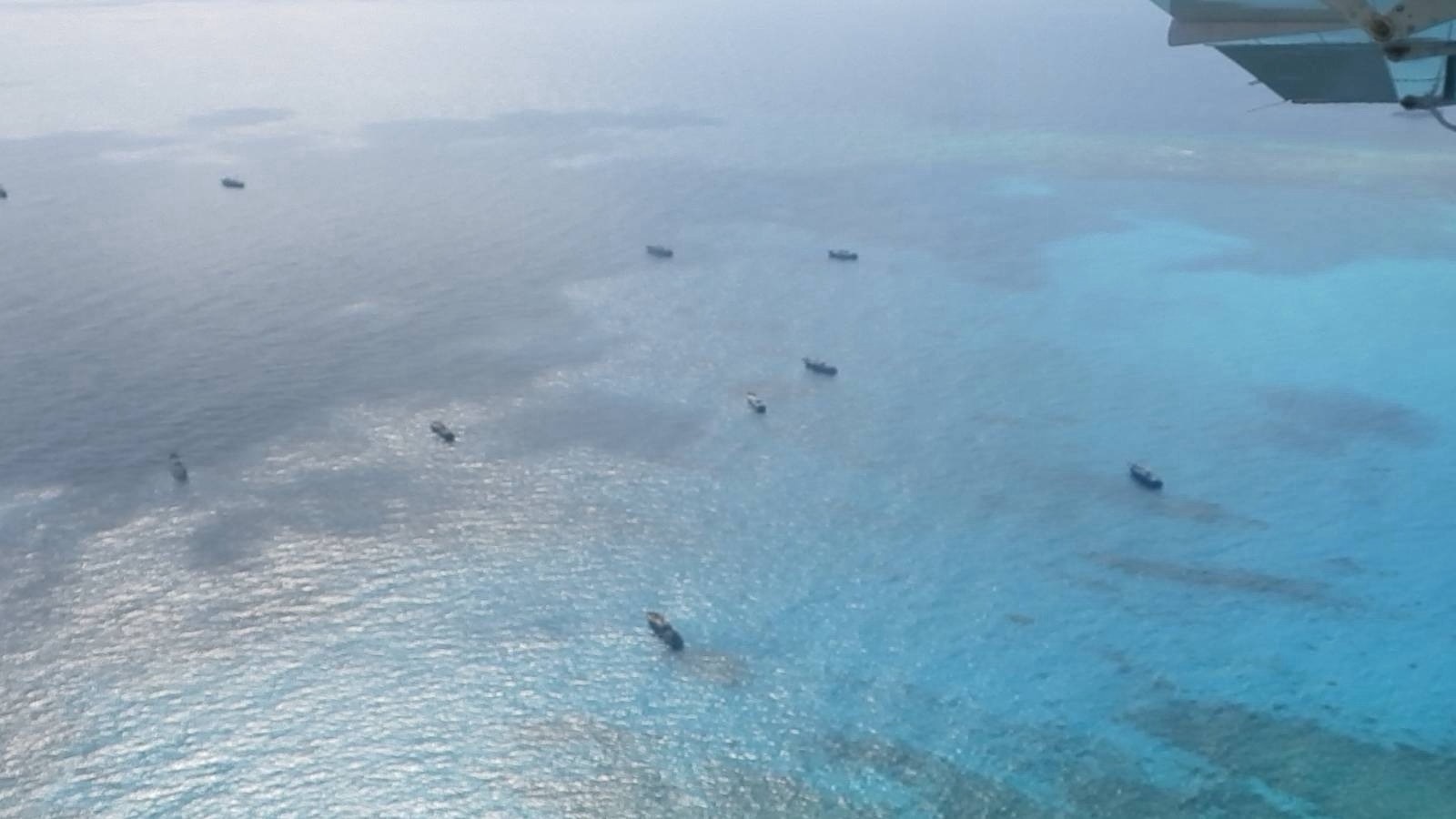
The National Maritime Council (NMC) on Tuesday slammed the illegal presence of Chinese maritime scientific research (MSR) vessels in the West Philippine Sea, including the research activities in the vicinity of Cay-2 and Cay-3 within the Pag-asa Islands.
“Naiulat ang mga ilegal na gawain ng Tsina sa ating karagatan. Hindi lamang sa PAGASA Island kundi pati na rin sa ibang lugar ng West Philippine Sea,” said NMC spokesperson Alexander Lopez in “Bagong Pilipinas Ngayon.”
(China's illegal activities in our waters have been reported. Not only near Pag-asa Island but also in other areas of the West Philippine Sea.)
“Ito yung mga sumusunod: Dalawang Chinese maritime research vessels ay nasa may Itbayat, Batanes sa norte ng Luzon…Isang maritime surveillance research vessel, sa layong 171 nautical miles mula naman sa Bolinao, Pangasinan…Isa ring Chinese MSR vessel, sa layong 140 nautical miles mula sa Rizal, Palawan, ito yung Xiang Yang Hong 33,” he added.
(These are the following: Two Chinese maritime research vessels are near Itbayat, Batanes in northern Luzon… One maritime surveillance research vessel is located 171 nautical miles from Bolinao, Pangasinan… There is also a Chinese MSR vessel located 140 nautical miles from Rizal, Palawan, which is the Xiang Yang Hong 33.)
On May 16, the Philippine Coast Guard (PCG) monitored the Chinese research vessel Xiang Yang Hong 33, which is equipped to support submersibles, map the seafloor, gather deep-sea data, and perform extensive marine ecological studies.
Since its entry into the Philippines’ exclusive economic zone (EEZ), the PCG said that the Chinese research vessel “has been systematically conducting illegal MSR activities across multiple features in Philippine waters.”
The NMC reiterated that the marine research activities by the Chinese vessels breached the country’s sovereignty and the United Nations Convention on the Law of the Sea (UNCLOS).
“Ang mga naturang aktibidad ay ilegal at nilalabag ang mga probisyon ng UNCLOS, particularly sa requirement na kinakailangan na dapat may pahintulot ang isang foreign state mula sa nakakasakop na coastal state tulad ng Pilipinas, bago magsagawa ng anumang scientific research at activity sa ating karagatan,” said Lopez.(Such activities are illegal and violate the provisions of UNCLOS, particularly the requirement that a foreign state must obtain permission from the sovereign coastal state, such as the Philippines, before conducting any scientific research and activity in our waters.)
Pag-asa Island is located 277 miles away from mainland Palawan and is part of the Kalayaan Island Group within the disputed West Philippine Sea.
It covers an area of 32.7 hectares and is the largest among the Kalayaan Islands.
Earlier, Armed Forces of the Philippines (AFP) spokesperson for WPS Rear Admiral Roy Vincent Trinidad said that the number of Chinese vessels spotted in some WPS features has decreased to 27 in the past week.
From May 12 to 18, China Coast Guard (CCG) and People’s Liberation Army Navy (PLAN) vessels have been monitored in the following WPS features:
- Ayungin Shoal – 8 vessels (one PLAN, seven CCGs)
- Bajo de Masinloc – 14 vessels (six PLANs, eight CCGs)
- Escoda Shoal – 1 vessel (one CCG)
- Pag-asa Islands – 4 vessels (two PLANs, two CCGs)
