

Batanes prepares for Mawar
IVANA, Batanes — The Philippines’ northernmost province is preparing for the possible effects of Super Typhoon Mawar, as the weather disturbance is expected to bring strong winds over Northern Luzon.
In an interview on Friday, Ivana Local Disaster Risk Reduction and Management Office head Marvin Pama said the town has activated its evacuation center to accommodate evacuees from high-risk communities.
“Ahead po tayo in terms of preparation,” Pama said.
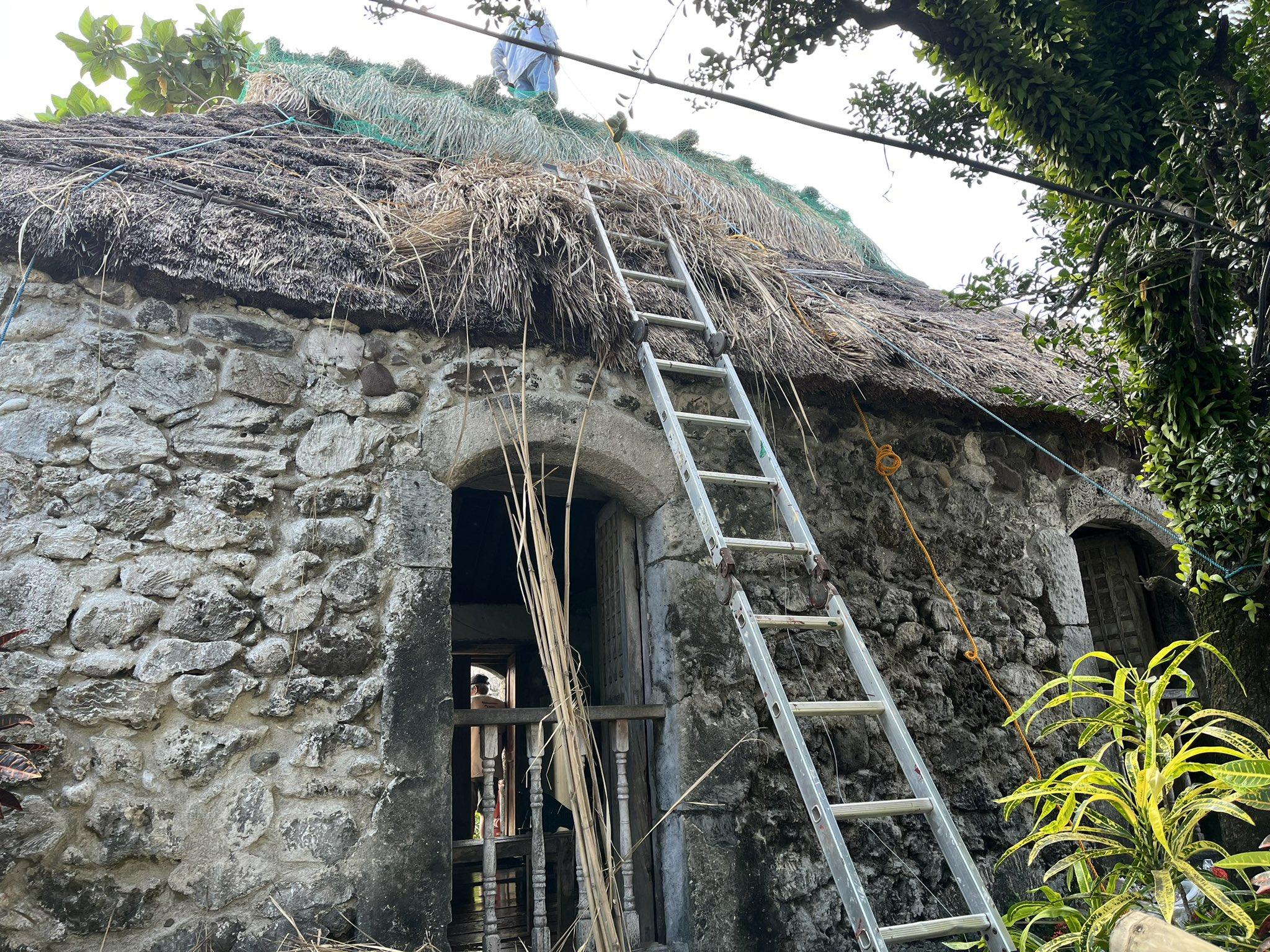
Pama said the local government of Ivana also implemented home reinforcement measures and had already advised fishermen to place their boats in designated boat shelters.
On Thursday, the Provincial Government of Batanes advised its residents to prepare for the typhoon.
“Pinapayuhan ang lahat na simulan na ang paghahanda katulad na lamang ng pagtatali sa mga bahay na gawa sa light materials (kapanpet) at paglalagay ng mga tapangko (window shutters),” it said in a Facebook post.
“Gayon din ang aming paalala na siguraduhing walang mga bagay-bagay sa paligid ng inyong mga tahanan na maaring makapagdulot ng kapahamakan sa inyong pamilya. Siguraduhin din nating ligtas ang mga alagang hayop at protektado ang ating mga hanapbuhay,” it added.
“Pinapaalalahanan din namin ang mga mangingisda na huwag munang pumalaot dahil sa banta ng malalaking alon.”
Mawar was packing maximum sustained winds of 215 kilometers per hour (km/h) near the center, with gustiness of up to 260 km/h, PAGASA said in its 11 a.m. bulletin.
At 10 a.m., the center of the eye of Mawar was located 1,705 kilometers east of southeastern Luzon, moving west at 20 km/h.
Mawar’s strong to typhoon-force winds extend outwards up to 550 km from the center, it added.
The super typhoon is forecast to reach its peak intensity within 24 hours, according to PAGASA. It is expected to enter the Philippine Area of Responsibility on Friday night or early Saturday morning.
Once inside PAR, Mawar will be called “Betty.”
Mawar is expected to bring heavy rains that may trigger flooding or rain-induced landslides over northern Luzon beginning late Sunday or on Monday next week.
Strong to storm-force conditions may also be experienced over extreme northern Luzon, while strong to gale-force conditions are possible over the northern and eastern portions of mainland Northern Luzon.
Mawar may also enhance the southwest monsoon or Habagat, which may bring monsoon rains over the western portions of Central Luzon, Southern Luzon, and Visayas starting Sunday or Monday.
PAGASA said wind signals would be raised by Saturday evening. —VBL, GMA Integrated News
