

 GMA Brandtalk
 Tracking
 Archives

Pilandok slows down slightly as Habagat affects Luzon, Visayas
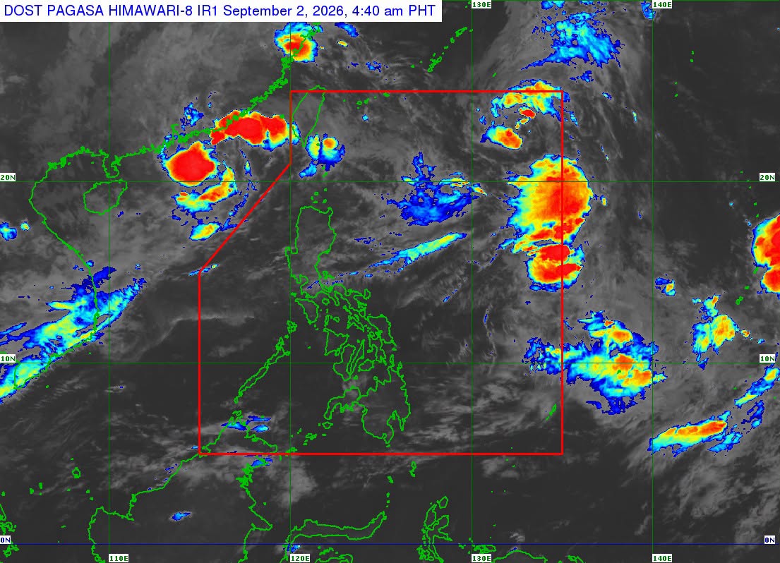
Tropical Storm Pilandok slowed down as it traversed the Philippine Sea while the Southwest Monsoon (Habagat) continued to affect Luzon and the Visayas, PAGASA said early Wednesday morning.
As of 4 a.m., Pilandok was located 1,205 kilometers east-northeast of Extreme Northern Luzon, packing maximum sustained winds of 65 kilometers per hour and gustiness of up to 80 km/h.
Moving east-northeastward at 10 km/h, Pilandok will remain far from the Philippine landmass and is forecast to exit the Philippine Area of Responsibility (PAR) by early Thursday morning.
Meanwhile, the Southwest Monsoon will bring occasional rains over Batanes; cloudy skies with scattered rains and thunderstorms over the Ilocos Region, Cordillera Administrative Region, Zambales, and Bataan; and partly cloudy to cloudy skies with isolated rain showers or thunderstorms over Metro Manila, the Visayas, and the rest of Luzon.
Mindanao will experience localized thunderstorms.
From Wednesday to Thursday, the Habagat will bring strong to gale-force gusts over the following areas, especially in coastal and upland areas exposed to winds:
- Most of Luzon and the Visayas
- Zamboanga del Norte
- Misamis Occidental
- Lanao del Norte
- Misamis Oriental
- Camiguin
- Dinagat Islands
- Davao Occidental
- Davao Oriental
— VBL, GMA News

