

 GMA Brandtalk
 Tracking
 Archives


Typhoon Samuel may reach peak intensity by Monday evening or Tuesday morning
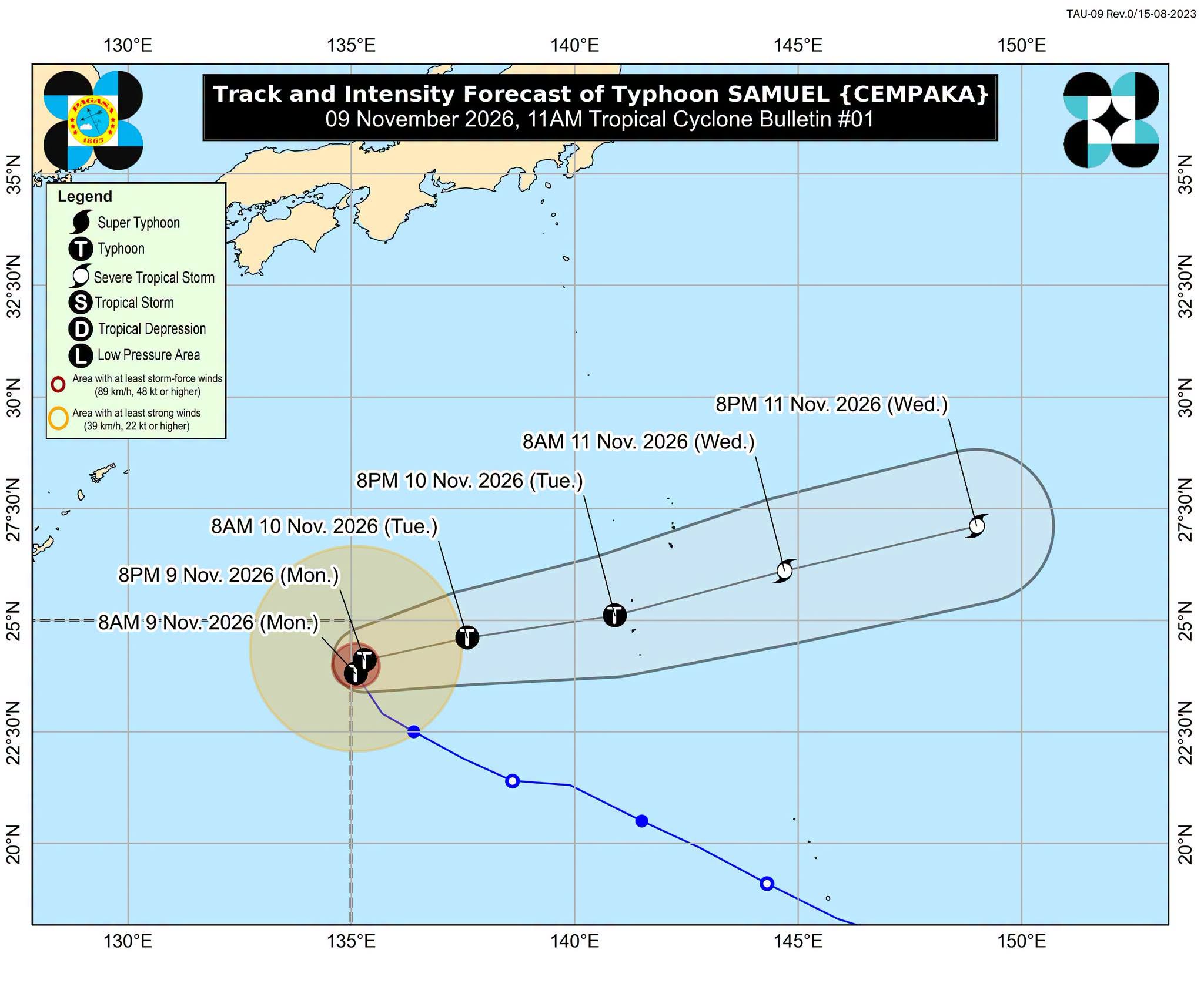
Typhoon Samuel is seen to continue intensifying and may reach its peak intensity by Monday evening or early Tuesday morning, the state weather bureau PAGASA said.
In its 11 a.m. bulletin on Monday, PAGASA said Samuel (international name Cempaka) was located 1,370 kilometers east-northeast of extreme Northern Luzon as of 10 a.m.
“SAMUEL is forecast to continue intensifying and may reach its peak intensity by this evening or tomorrow early morning,” PAGASA said.
Samuel is less likely to directly affect the country's weather conditions throughout the forecast period, according to PAGASA.
The typhoon was packing maximum sustained winds of 120 kilometers per hour (kph) near the center and gustiness of up to 150 kph.
It was moving north-northwestward at 20 kph.
Samuel was expected to turn slowly north-northeastward within the next 12 hours before exiting the Philippine Area of Responsibility (PAR) between Monday night and early Tuesday morning.
Once outside the PAR, the typhoon is expected to accelerate generally east-northeastward over the Pacific Ocean. —AOL, GMA News

