

Signal 3 up over Kalayaan Islands as Odette further intensifies –PAGASA
Tropical Cyclone Wind Signal No. 3 remained hoisted over the Kalayaan Islands as Typhoon Odette further intensified on Saturday afternoon while moving westward over the West Philippine Sea, PAGASA said.
In its 5 p.m. bulletin, PAGASA said the Kalayaan Islands were expected to experience torrential to heavy rain, as well as typhoon-force winds, for the next 18 hours.
The state weather bureau further warned that there was still a moderate to high risk from a storm surge, which may result in life-threatening coastal flooding in the Kalayaan Islands.
Meanwhile, moderate to heavy rains would be experienced over the northern and eastern portions of Cagayan, the eastern portion of Isabela, Apayao, Aurora, and the northern portion of Quezon including Polillo Islands.
Light to moderate with at times heavy rains are expected over Bicol Region, Nueva Vizcaya, Quirino, Nueva Ecija, Northern Samar, and the rest of Cagayan, Isabela, and Quezon.
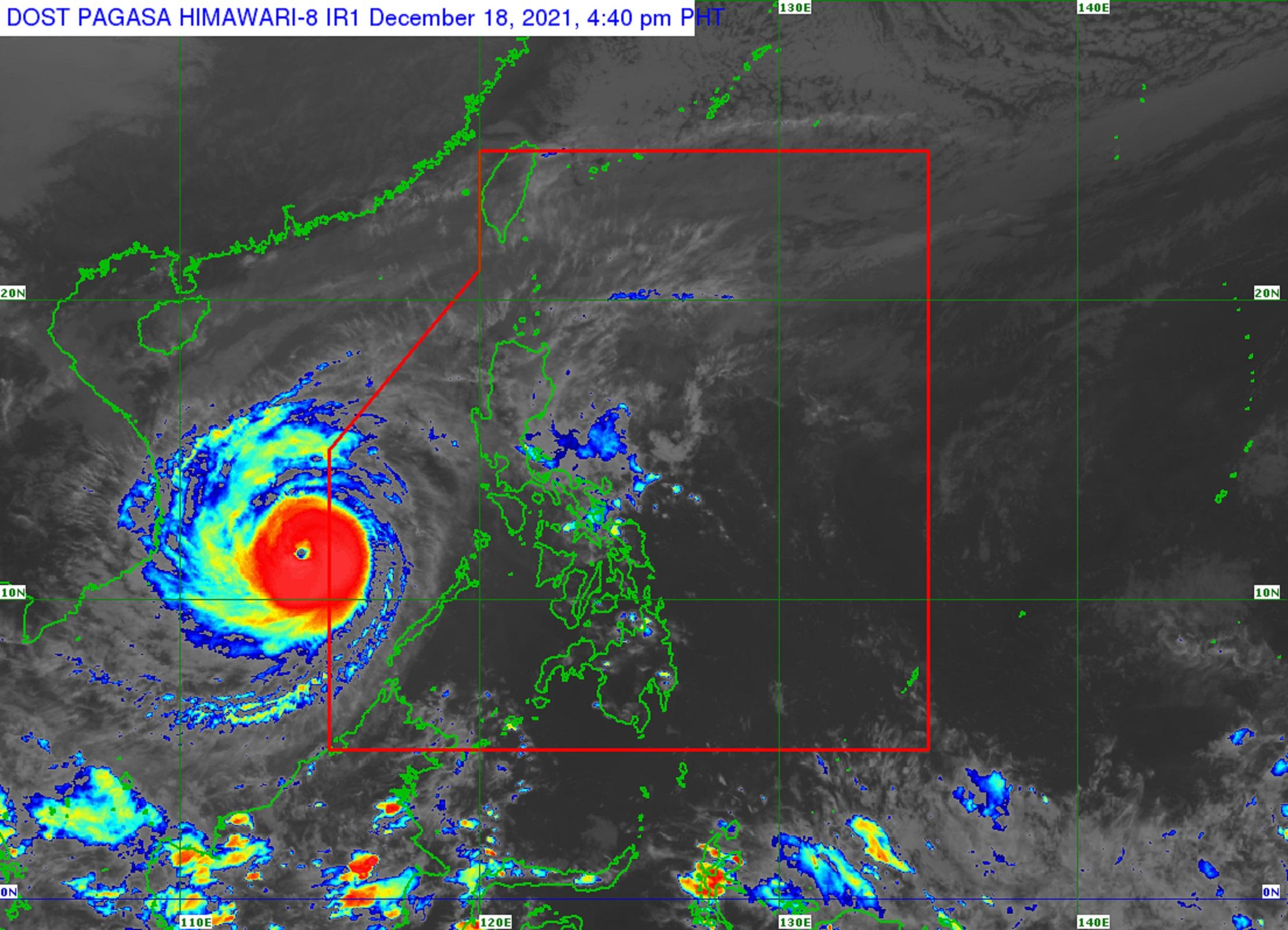
Odette left the Philippine Area of Responsibility at 12:40 p.m. on Saturday.
PAGASA said the tropical cyclone is forecast to maintain its strength while moving over the West Philippine Sea. But the eventual exposure of the typhoon to increasing vertical wind shear and the surge of the Northeast Monsoon will result in a weakening trend beginning Sunday.
As of 4 p.m., Typhoon Odette was located over the coastal waters of Pag-asa Island, Kalayaan, Palawan (outside PAR).
It had maximum sustained winds of 165 kph near the center, gustiness of up to 205 kph, and a central pressure of 945 hPa. It was moving westward at 25 kph, with strong winds or higher extending outwards up to 400 kms from the center. — DVM, GMA News
