

LPA spotted east off Davao City; Habagat to affect Luzon
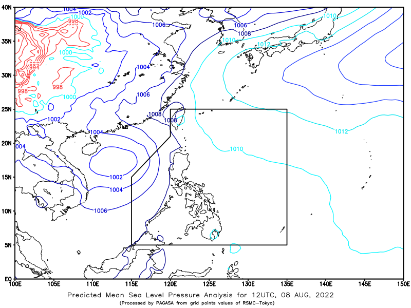
A low pressure (LPA) area was estimated at 530 kilometers east of Davao City as of 3 p.m. on Monday, while the Southwest Monsoon or Habagat will continue to affect Luzon, PAGASA said.
The state weather bureau is also monitoring an active tropical cyclone outside the Philippine Area of Responsibility (PAR).
The tropical depression is located 550 kilometers north northwest of Kalayaan Island, Palawan with maximum sustained winds at 45 kilometers per hour (kph), gustiness of up to 55 kph, and movement remained almost stationary, based on PAGASA’s 4 p.m. daily weather bulletin.
Cloudy skies with scattered rain showers and thunderstorms will prevail over Metro Manila, Ilocos Region, Cordillera Administrative Region, Cagayan Valley, Central Luzon, Calabarzon, and Mimaropa caused by the Habagat.
Caraga and Davao Region will also have cloudy skies with scattered rain showers and thunderstorms caused by the LPA.
Affected residents were advised to prepare for possible flash floods or landslides due to moderate to at times heavy rains.
Meanwhile, the rest of the country will experience partly cloudy to cloudy skies with isolated rain showers or thunderstorms caused by the Habagat and localized thunderstorms.
Flash floods or landslides may occur during severe thunderstorms, PAGASA said.
The wind speed forecast for the western section of Luzon will be moderate to strong while coastal water conditions will be moderate to rough, ranging 2.1 meters to 4.0 meters.
Light to moderate wind speeds will be experienced by eastern section of Mindanao and the rest of the country, with slight to moderate coastal water conditions ranging from 0.6 to 2.5 meters. — BM, GMA News
