

Signal No. 2 up over 5 areas as Crising moves toward PAR exit
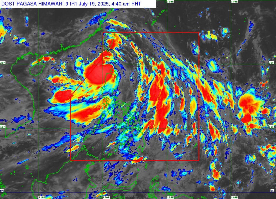
Five areas were placed under Signal No. 2 on Saturday morning as Tropical Storm Crising brings rains on its way to leave the Philippine Area of Responsibility, PAGASA said in its 5 a.m. Saturday bulletin.
Tropical Cyclone Wind Signal (TCWS) No. 2 was raised over the following areas:
- Batanes
- the northern portion of Cagayan (Santa Praxedes, Claveria, Sanchez-Mira, Pamplona, Abulug, Ballesteros, Santa Ana, Gonzaga, Santa Teresita, Buguey, Aparri, Camalaniugan, Allacapan, Lal-Lo, Lasam, Rizal, Santo Niño, Gattaran, Alcala) including Babuyan Islands
- Ilocos Norte
- the northern and central portions of Apayao (Calanasan, Luna, Pudtol, Kabugao, Flora, Santa Marcela)
- the northeastern portion of Abra (Tineg, Lagayan)
Under TCWS No. 1 are the following areas:
- the rest of Cagayan
- the northern portion of Isabela (Mallig, Divilacan, Quirino, Gamu, Ilagan City, Burgos, San Manuel, Roxas, San Mateo, Aurora, Luna, Cabatuan, Reina Mercedes, Naguilian, Santa Maria, San Pablo, Maconacon, Cabagan, Tumauini, Delfin Albano, Quezon, Santo Tomas)
- the rest of Apayao
- the rest of Abra
- Kalinga
- Mountain Province
- Ifugao
- the northern portion of Benguet (Bakun, Mankayan, Buguias, Kibungan, Kabayan, Atok, Kapangan)
- Ilocos Sur
- the northern portion of La Union (Bangar, Sudipen, Luna, Balaoan, Santol, San Gabriel, Bacnotan, City of San Fernando, San Juan, Bagulin)
Carrying maximum sustained winds of 85 km/h near the center with gustiness of up to 115 km/h, Crising was located 125 km west northwest of Calayan, Cagayan at 4 a.m.
It was moving west northwestward at 15 km/h.
PAGASA said both Crising and the Southwest Monsoon (Habagat) would continue to bring heavy rainfall over parts of Luzon and Visayas.
''There is a minimal to moderate risk of life-threatening storm surge with peak heights reaching 1.0 to 2.0 m within 12 hours over the low-lying or exposed coastal localities of Batanes, Cagayan including Babuyan Islands, Ilocos Norte, and Ilocos Sur,'' PAGASA said.
The Southwest Monsoon will bring strong to gale-force gusts over the following areas:
• Saturday: Metro Manila, Central Luzon, CALABARZON, Bicol Region, MIMAROPA, Visayas, Nueva Ecija, Nueva Vizcaya, the rest of Isabela, the rest of La Union, the rest of Benguet, Abra, Zamboanga del Norte, Camiguin, Misamis Oriental, Misamis Occidental, Lanao del Norte, Surigao del Norte, and Dinagat Islands.
• Sunday: Metro Manila, Ilocos Region, Cordillera Administrative Region, Cagayan Valley, Central Luzon, CALABARZON, MIMAROPA, Bicol Region, Visayas, and Zamboanga del Norte.
• Monday: Metro Manila, Ilocos Region, Cordillera Administrative Region, Central Luzon, CALABARZON, MIMAROPA, Bicol Region, and Visayas.
According to PAGASA, Crising may intensify into a severe tropical storm as it approaches southern China on Saturday.
Classes for Saturday, July 19, 2025 have been suspended in some areas due to the effects of Tropical Storm Crising. —VBL/KG, GMA Integrated News
