

Wind signals lifted as Emong set for PAR exit
Wind signals have been lifted as tropical cyclone Emong continues to weaken on its way out of the Philippine Area of Responsibility.
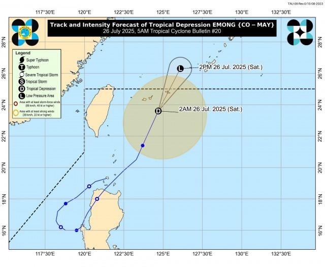
PAGASA said in its 5 a.m. Saturday tropical cyclone bulletin that Emong is now a tropical depression, with maximum sustained winds of 55 km/h and gustiness of up to 70 km/h.
Last spotted 500 km northeast of Itbayat, Batanes, Emong was moving north northeast at 45 km/h.
‘’Emong will continue to accelerate generally north northeastward and exit the Philippine Area of Responsibility this morning. Due to [the] increasing unfavorable environment and fast translational speed of Emong, it will likely degenerate into a remnant low within the next 12 hours,’’ PAGASA said.
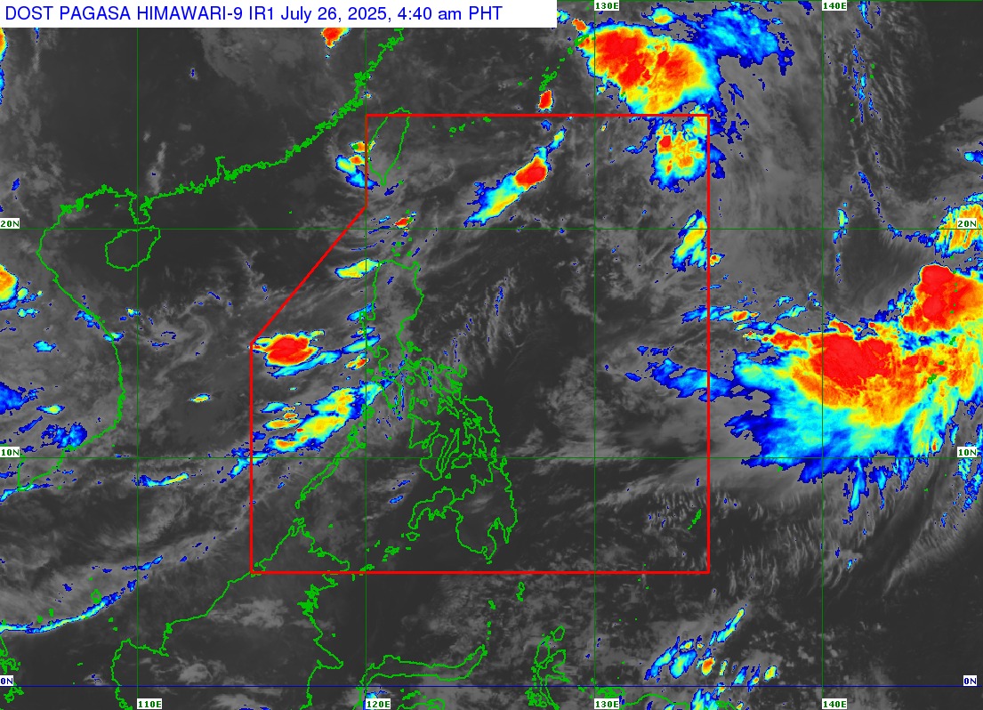
The Southwest Monsoon (Habagat) will bring occasional rains over the Ilocos Region, Zambales, Bataan, and Occidental Mindoro and cloudy skies with scattered rains and thunderstorms over Metro Manila, the Cordillera Administrative Region, Cagayan Valley, CALABARZON, the rest of Central Luzon, and the rest of MIMAROPA.
The rest of the country will see partly cloudy to cloudy skies with isolated rains or thunderstorms.
Extreme Northern Luzon will experience strong winds and rough coastal waters, while the western section of Luzon will have moderate to strong winds and moderate to rough seas.
Light to moderate winds and slight to moderate coastal waters are forecast for the rest of the country. —VBL, GMA Integrated News
