

Severe Tropical Storm Podul enters PAR as Gorio —PAGASA
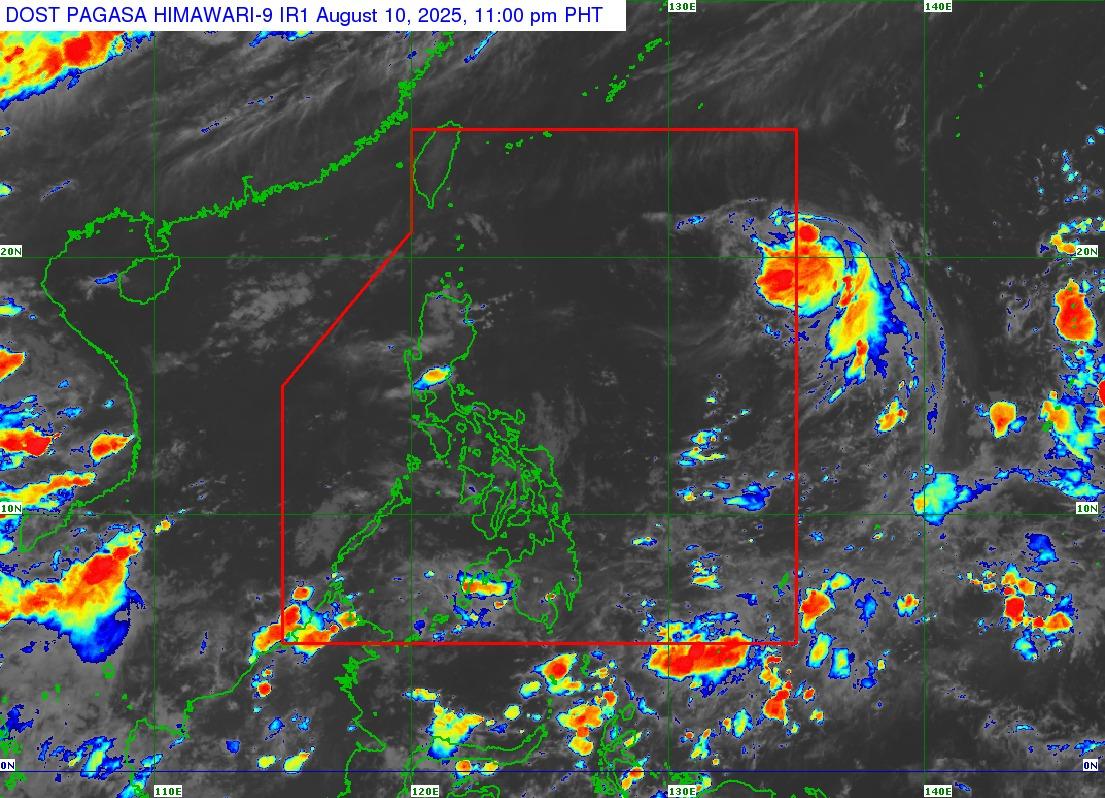
Severe Tropical Storm Podul slightly weakened as it continued to move west and entered the Philippine Area of Responsibility (PAR) late Sunday evening as Gorio, PAGASA said.
In its Tropical Cyclone Advisory released 11 p.m. on Sunday, the state weather bureau said Podul was last seen 1,420 kilometers east of extreme Northern Luzon, with maximum sustained winds of 100 kilometers per hour near the center, gustiness of 125 kilometers per hour, and central pressure of 990 hPa.
In a later update, PAGASA said the storm entered PAR at around 11:20 p.m. and is now locally named Gorio. It is expected to make landfall over the northeastern coast of Taiwan on Wednesday.
“There is large uncertainty in the projected track and intensity of PODUL from Monday through the end of the forecast period since any northward or southward shift in the track forecast will significantly change the intensity forecast,” PAGASA said.
Moving forward, PAGASA expects cloudy skies with scattered rains and thunderstorms in the Ilocos Region, Batanes, and the Babuyan Islands, due to the southwest monsoon or Habagat.
Partly cloudy to cloudy skies with isolated rainshowers or thunderstorms are also expected in Metro Manila, Zambales, Bataan, Cavite, Batangas, Occidental Mindoro, and Palawan.
Meanwhile, localized thunderstorms are seen to bring partly cloudy to cloudy skies with isolated rainshowers or thunderstorms to the rest of the country. — Jon Viktor D. Cabuenas/BM, GMA Integrated News
