

PAGASA: LPA spotted outside PAR, but low chance to become tropical depression
A low pressure area spotted 2,540 kilometers east of Southeastern Mindanao has a low possibility of becoming a tropical depression so far, the state weather bureau said on Monday.
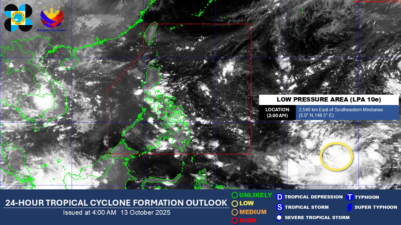
In its 2 a.m. advisory on Oct. 13, the Philippine Atmospheric, Geophysical, and Astronomical Services Administration said it is monitoring the low pressure area which is still outside the Philippine area of responsibility.
It said the low pressure area has a low chance of developing into a tropical depression in the next 24 hours.
In its 4 a.m. weather forecast on Monday, the state weather bureau said easterlies will persist in the eastern portions of Luzon and Visayas.
Bicol Region, Eastern Visayas, Isabela, Aurora, Rizal, and Quezon will experience cloudy skies with scattered rains and thunderstorms with the possibility of flash floods or landslides due to moderate to heavy rains.
Meanwhile, Metro Manila, the rest of Luzon, and the rest of Visayas will have partly cloudy to cloudy skies with isolated rainshowers or thunderstorms due to the easterlies.
Mindanao will experience partly cloudy to cloudy skies with isolated rainshowers or thunderstorms due to localized thunderstorms.
The state weather bureau said winds will be light to moderate while coastal waters will be slight to moderate throughout the country.
Sunrise in Metro Manila will be at 5:47 a.m. on Monday while sunset will be at 5:37 p.m. — JMA, GMA Integrated News
