

3 areas remain under Signal No.1 as Salome nears extreme Northern Luzon
Signal No. 1 is still hoisted in 3 areas in Luzon as Tropical Depression Salome approaches extreme Northern Luzon, PAGASA said late Wednesday evening.
A landfall over Batanes is possible within the next 12 hours, it added.
Based on the state weather bureau’s 11 p.m. bulletin, Batanes, the western portion of Babuyan Islands (Calayan Is., Dalupiri Is.), and the northwestern portion of Ilocos Norte (Bangui, Pagudpud, Burgos, Pasuquin, Bacarra, Laoag City) remain under Signal No. 1.
PAGASA said Signal No. 1 will likely be the highest wind signal hoisted throughout Salome’s passage.
“However, the possibility of reaching tropical storm category is not ruled out, the worst case scenario is Wind Signal No. 2,” it said.
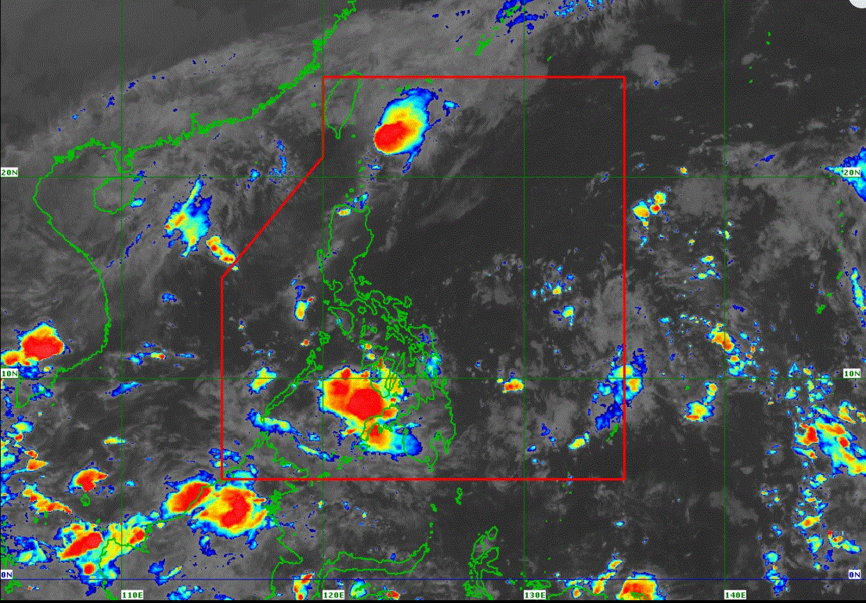
At 10 p.m., Salome was located 90 km east northeast of Itbayat, Batanes.
It is carrying maximum sustained winds of 55 km/h near the center and gusts of up to 70 km/h, and is moving southward at 25 km/h.
State meteorologists maintained that on Thursday, northeasterly windflow will bring strong to gale-force gusts over Batanes, Babuyan Islands, Cagayan, Ilocos Norte, and Ilocos Sur, which are not under any wind signal.
It added that Salome may pass close or make landfall over Batanes within the next 12 hours.
“This weather disturbance may also pass close or over Babuyan Islands by tomorrow morning, and in Ilocos Norte by tomorrow afternoon,” PAGASA said.
The storm was predicted to move generally southwestward throughout the forecast period due to the High Pressure Area over mainland China.
It is likely to remain a tropical depression throughout the forecast period before weakening into a remnant low on Friday. —LDF, GMA Integrated News
